Heat wave starts in NYC and N.J. Here's the weather forecast.
The expected heat wave has become a reality for New York City.
However, the blistering temperatures won't just be confined to the city. The entire Tri-State Area will continue to feel it, too.
The National Weather Service has issued an Extreme Heat Warning for the entire region through Saturday. Temperatures could feel like 110 degrees or more.
There's also an air quality alert for parts of the area, including the city, for Thursday.
First Alert Weather Days
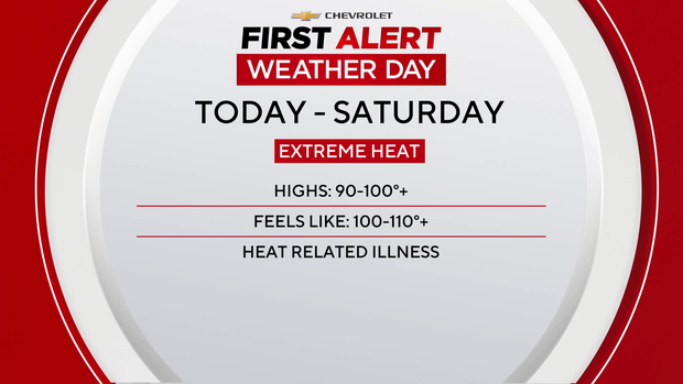
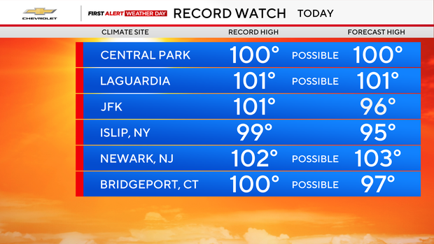
Record high temperatures for N.Y. and N.J. weather are possible over the next few days. For that reason Thursday Friday and Saturday are all First Alert Weather Days.
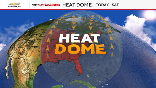
Pretty much the entire eastern half of the country is caught under a heat dome, which is responsible for the persistent high temperatures.
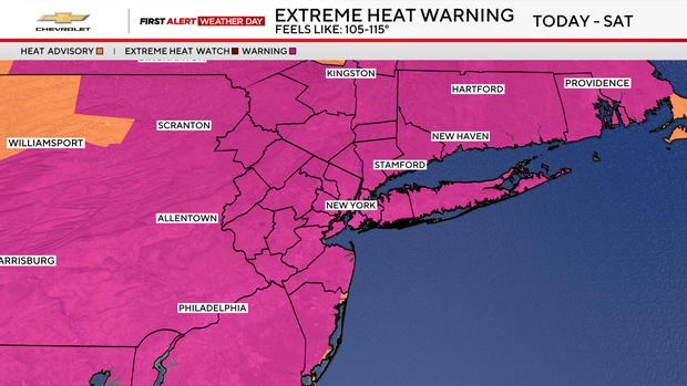
The Extreme Heat Warning through Saturday extends up and down the East Coast.
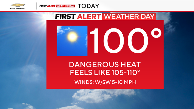
With the hazy, hot and humid conditions, it will feel like 105 to 110 degrees Thursday. Isolated showers and thunderstorms, especially north and west of NYC, are likely over the next few days.
If it reaches 100 in Central Park, it would be the first time New York City officially hits the century mark since July 18, 2012. Reaching 100 in the park is not a common occurrence, as it has only happened seven times since 1999.
The same pattern continues through Friday, again bringing us a chance of showers and thunderstorms.
Temperatures will start to ease off Saturday for the Fourth of July, but it will still be plenty hot. We won't get a real break until next week.


