First Alert Forecast: High 80s and humid, thunderstorms possible
Today will be another hot one with highs in the upper 80s and low 90s around the area. While the humidity is up a bit, it still won't be oppressive like a couple weeks ago.
Expect a mix of sun and clouds this afternoon with a stray pop-up storm around, mainly to the north and west.
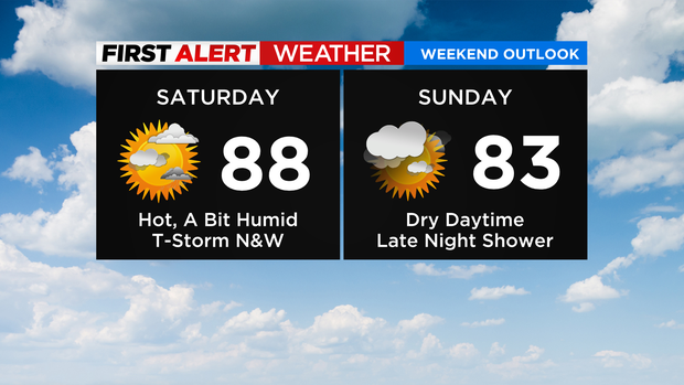
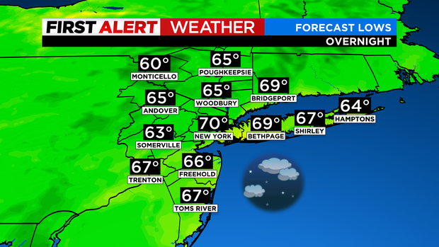
Any isolated showers or storms dissipate after sunset with partly cloudy skies overnight. Temps will fall into the 60s for the suburbs to around 70 in the city.
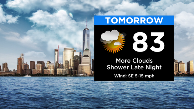
Sunday is a mainly dry day, but clouds will be on the increase through the day. Any shower activity holds off until late Sunday night. Temps tomorrow won't be quite as hot with highs in the mid to upper 80s.
Monday will bring our best chance at some much-needed rain around here. Scattered downpours and thunderstorms will be possible through the day. It won't be raining non-stop, but you'll run into on and off downpours.
It'll be a bit cooler with highs in the upper 70s and low 80s.
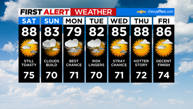
After some lingering showers or a storm on Tuesday, things turn drier and warmer again heading into the second part of next week. Have a great weekend!


