11/13: CBS2 Thursday Afternoon Weather Headlines
By Justin Lewis
CBS2 Meteorologist
Good afternoon, everyone.
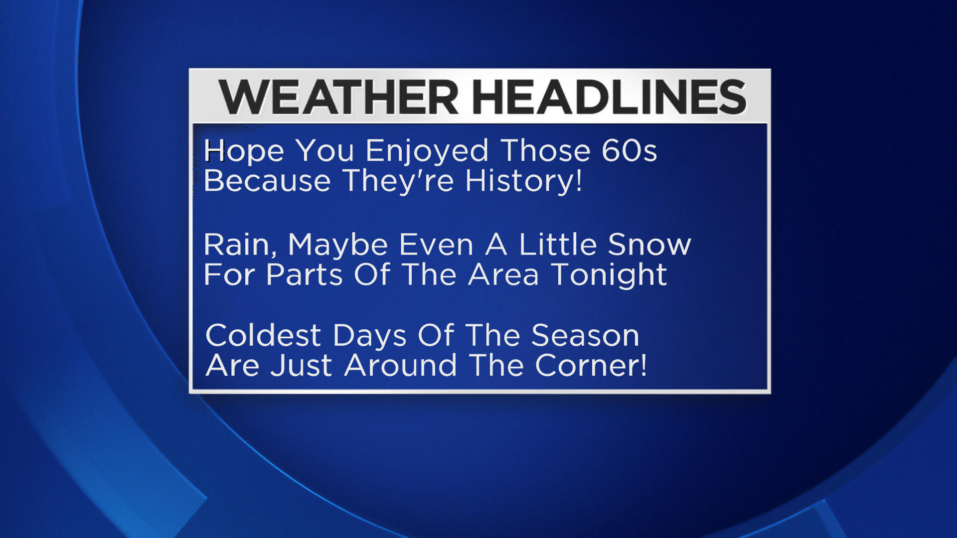
Well, we promised colder temperatures this morning, and boy did we deliver! And even though we're heading into the afternoon, don't expect a big jump... likely won't even hit 50°! The good news is, it stays generally quiet through sunset, though it looks like clouds will rapidly overspread the area.
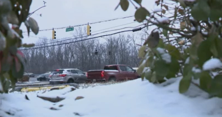
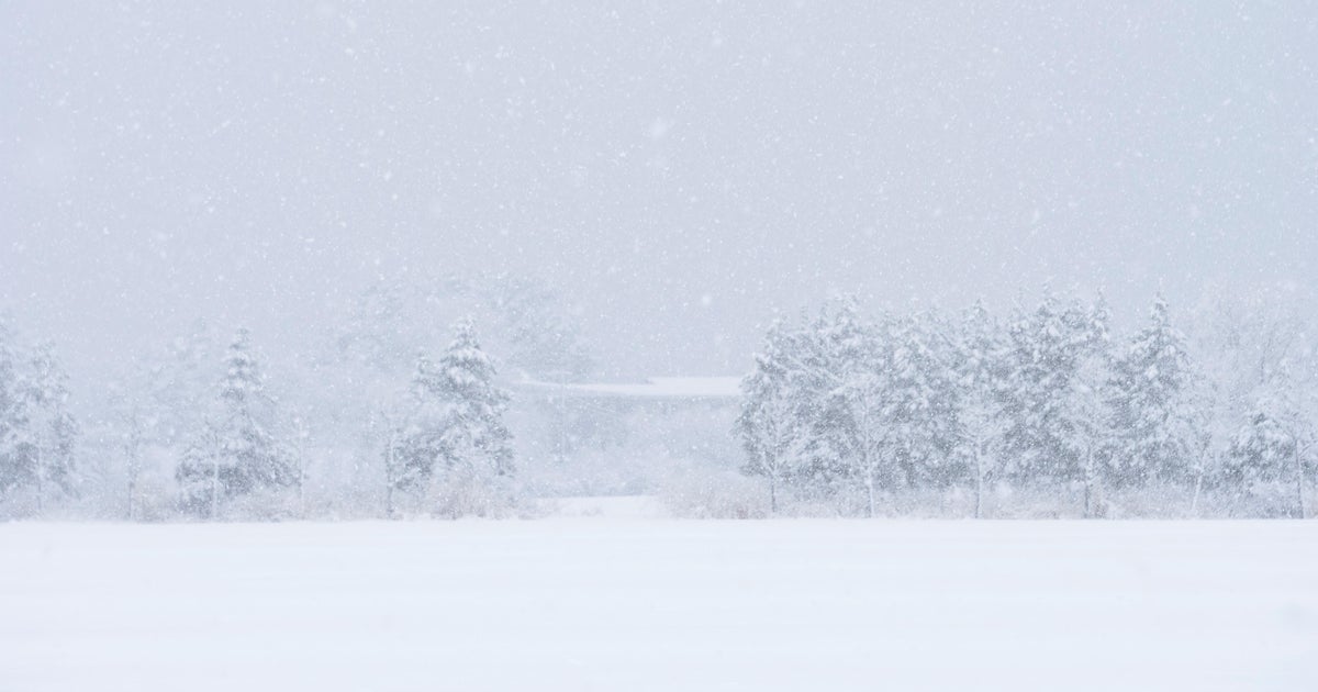
Things get a little more interesting tonight as we see some rain and snow (N&W) push in. It stays wet in the city until the early overnight hours; thereafter, we could see a few wet snow flakes before the system exits. The best chance to see any snow accumulations will be N&W of the city with only light amounts (<1" in even the hardest hit areas) expected. By daybreak, expect the bulk of the moisture to be offshore with clearing skies overhead.
We'll be coming out of a cold night with a bit of moisture around the area, so be sure to factor in a few slippery/icy spots (especially inland) for the commute to work in the morning. Winds will have picked up by sunrise though, so this may serve to evaporate some of the said moisture. And despite a great deal of sunshine tomorrow, we're only expecting to max out in the low to mid 40s... about 10-15° below normal!
Saturday still looks like the coldest day of the season with sunrise temperatures right around freezing and afternoon temperatures only getting into the low 40s! Sunday's only ever so slightly warmer with some more clouds in the mix, but for now, it looks like we stay dry.
Don't forget to check back for more details on tonight's rain and snow!