Red River Snowmelt To Begin In Earnest This Week
The National Weather Service says the main snowmelt runoff and initial spring flooding for the Red River Valley of North Dakota and Minnesota will pick up steam in the coming week.
Watch CBS News
The National Weather Service says the main snowmelt runoff and initial spring flooding for the Red River Valley of North Dakota and Minnesota will pick up steam in the coming week.

Clean up is underway in parts of the Midwest after violent and deadly storms killed nearly 40 people in five states including a toddler that was found thrown into a field and later died.
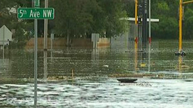
Forecasters say they're still optimistic the Minnesota and Upper Mississippi River basins will escape flooding this spring.

Grass fires are an unusual sight for this time of year, but they've been sparking up quite a bit in the last few weeks.
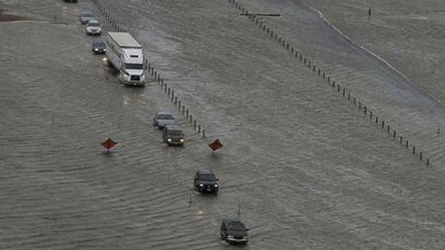
The risk of significant flooding in the Red River Valley is down from recent years and even lower than last month's forecast due to the lack of snow, forecasters said Thursday — bolstering hopes the region may be spared a fourth consecutive battle this spring.

With wind chills expected to dip to 35 degrees below zero in much of Minnesota overnight, the National Weather Service issued its newest warning: The Extreme Cold Warning.
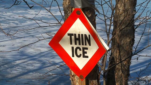
The predictions all pointed to a snowy and cold winter. So far, it's been anything but.

The first significant winter storm of the winter season could be on its way to Minnesota by Saturday night.

The National Weather Service in the Dakotas and Minnesota will not be issuing wind chill warnings this winter, opting instead for the "extreme cold" statements that debuted last winter.

The first winter weather of the season to impact parts of the area Tuesday into Wednesday.
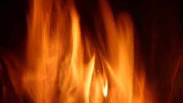
Burning restrictions are in place across much of southern Minnesota this week because of the high fire risk.

Firefighters are bracing for a gusty day Thursday as they battle a wildfire in the Boundary Waters of northeastern Minnesota.
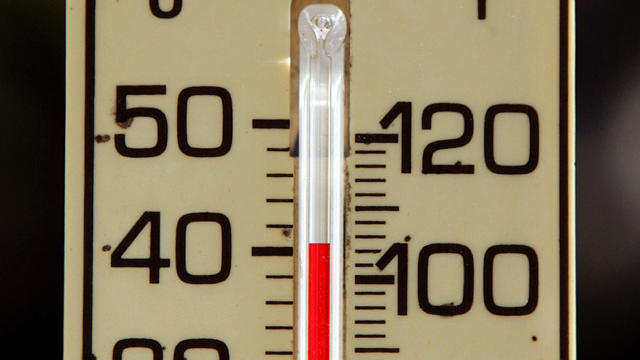
The National Weather Service says high temperatures are expected to be into the low to mid 90s, with heat indices soaring to 105 degrees through Wednesday.

Severe thunderstorms caused some major damage across southern and central Minnesota Sunday night.

The National Weather Service in Duluth is reporting that a tornado hit near Solon Springs in northwestern Wisconsin during a fierce storm that moved across the region Friday night.

The National Weather Service is reporting that it was a weak tornado in Waite Park and a downburst packing high winds north of downtown St. Cloud that caused most of the damage in the area.
Swimming pools and air-conditioned spots are likely to be popular places Thursday and Friday in the Twin Cities when the scorching temperatures and humidity will combine to create heat indices of more than 100 degrees.

Heavy rain caused widespread flooding in parts of northern Minnesota.

The National Weather Service has confirmed that a tornado damaged parts of Anoka County on Tuesday afternoon.
A slow-moving line of strong thunderstorms dropped funnel clouds over parts of the Twin Cities metro area Tuesday afternoon.

Severe weather appears to be starting up Tuesday afternoon near the Twin Cities metro area.

The National Weather Service says a weekend storm included the first tornado in Lake County in nearly 20 years.

People in Park Rapids are cleaning up, after a Memorial Day storm blew through town.

The National Weather Service has concluded that the deadly tornado that swept north Minneapolis was either a strong EF1 or an EF2.

Todd Krause, a tornado warning specialist with the National Weather Service in the Twin Cities, said the tragic twisters were not unexpected.