Snow-Starved Minnesota Getting A Fresh Dose
MINNEAPOLIS (WCCO) -- It wasn't a major winter storm, but Tuesday's day-long mix of wintry precipitation was still causing its fair share of problems around the state and the Twin Cities.
The storm moved into the metro area just in time for the morning commute, and just in time for the evening rush hour, a little more afternoon snow was expected to move through.
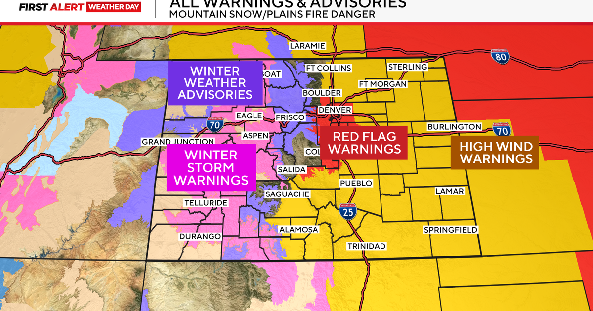
Most of the state is currently under a winter weather advisory in effect until 9 p.m.
The system began with a line of freezing rain and ice pellets, which moved into the Twin Cities by 7 to 8 a.m.
The Minnesota Department of Transportation warned motorists that the freezing rain and sleet was causing some roads to ice up. The department said drivers should exercise caution in the area.
The State Patrol reported at least 58 crashes in the metro area due to the icy rain. The Minnesota Department of Transportation was was out overnight pretreating some hazard areas, such as bridges and curves. However, the wintery mix fell first it diluted some of their efforts, which caused roads to be more slick.
A number of school districts in Minnesota announced delayed starts. Click here to see the full list.
Prior to the latest dose of snow, more than 98 percent of Minnesota was at least abnormally dry, according to the U.S. Drought Monitor.
Following the snow comes, yes, a cold front. WCCO meteorologist Matt Brickman said northwesterly winds will crank up leading to a blustery Wednesday with chilly temperatures and high winds that will continue into Thursday morning, when below-zero temperatures and wind gusts will make it feel like 20 to 30 below.
Friday the 13th will be a bit warmer, but after that ... well, let's just say we hope you have a Valentine to keep you warm on Saturday.
