Weather photos: Tornadoes spotted as severe storms move through Minnesota
Multiple thunderstorm and tornado warnings were issued across Minnesota and western Wisconsin Saturday afternoon and evening.
The National Weather Service issued tornado warnings for Becker, Mahnomen, Waseca, Polk, Traill and Norman counties that have since expired.
Tornado watches were issued for Becker, Clay, Clearwater, Hubbard, Mahnomen, Norman, Otter Tail, Pennington, Polk, Red Lake, Wadena and Wilkin counties that expired Saturday evening.
Check out updates from Saturday's weather event below. Click here for Sunday's forecast.
Click here to submit your own weather photo for a chance to see it on WCCO.
Severe threat subsides for Sunday, but wet conditions remain
The threat of severe weather subsided overnight, but unsettled conditions will continue Sunday.
A weather system making its way east through Minnesota will keep the chance for scattered showers and thunderstorms. A few cells could feature heavy rain, lightning and high winds.
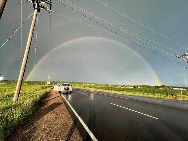
Rainbow over the old library in South St. Paul

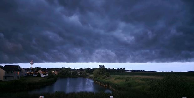
Mammatus clouds over Minneapolis

Rainbow after storm in western Wisconsin
Dark clouds over Mayer in Carver County
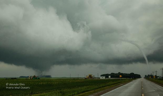
Tornado west of Beltrami
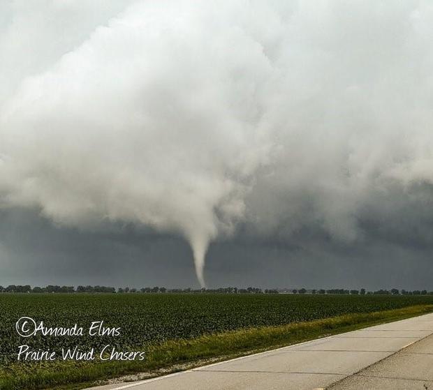
Tornado northwest of Borup, Minnesota
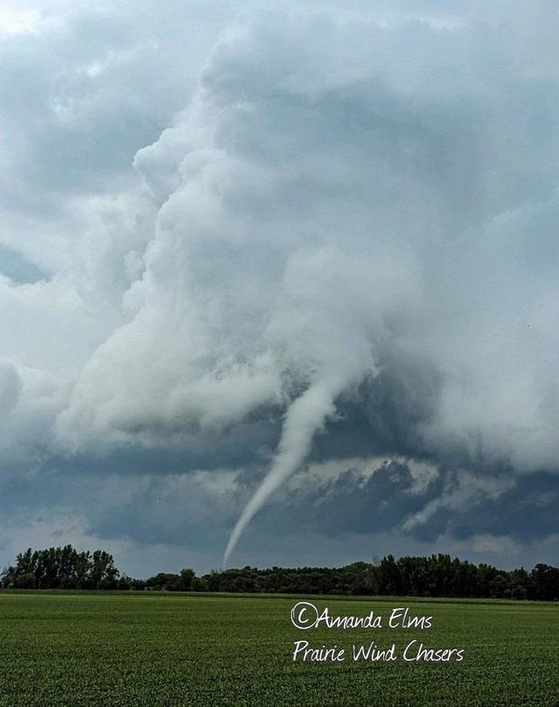
Tornado near Beltrami