South Florida will see more rounds of rain roll through
More rounds of rain will roll through South Florida on Thursday.
Scattered to numerous storms will develop with the potential for some heavy downpours. The Weather Prediction Center has placed South Florida under a marginal risk (Level 1) of excessive heavy rainfall and flash flooding.
A stalled frontal boundary and an area of low pressure is keeping the atmosphere very moist and unsettled.
Highs will climb to the low 90s in the afternoon and it will feel like the upper 90s when the humidity is factored in.
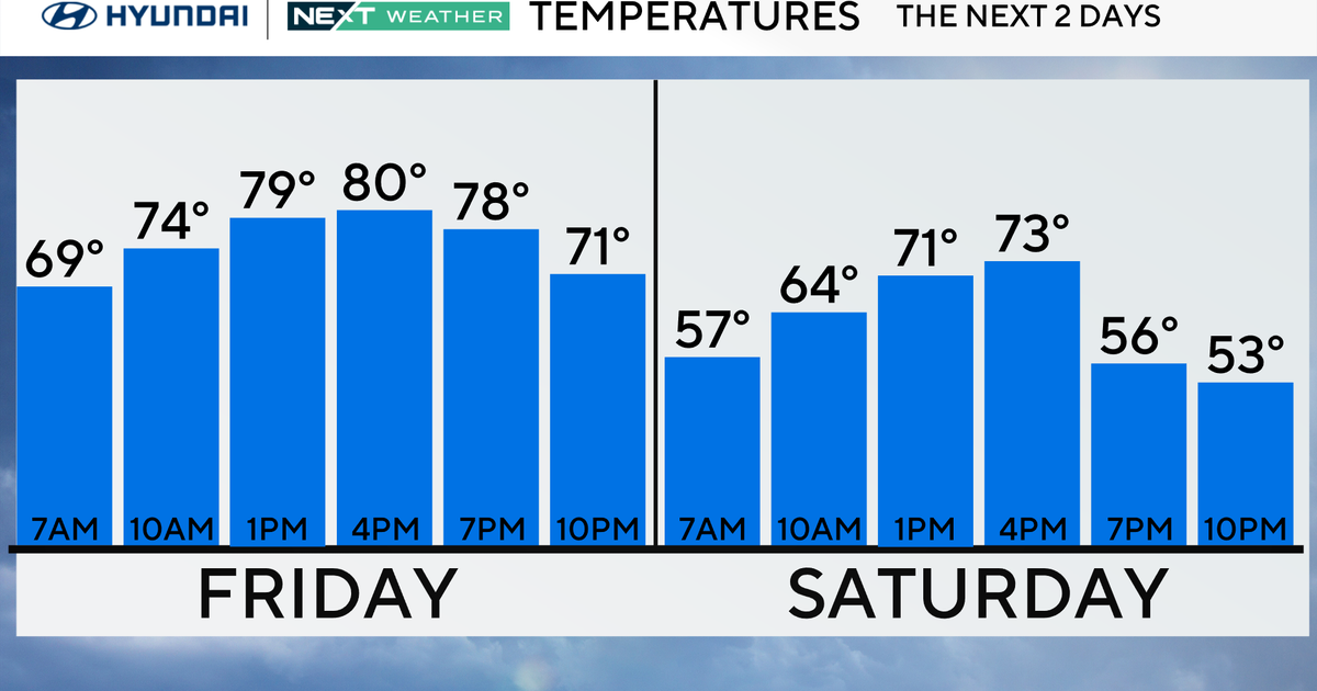
The chance of rain will stay high through Friday. Scattered showers and storms will move in with the potential for heavy rain and localized flooding. Highs will be near 90 degrees and heat indices will rise to the upper 90s and low 100s.
The upcoming weekend will not be as soggy as the chance of rain will decrease. However, passing storms will still be possible on Saturday, with spotty storms likely on Sunday. Highs will remain seasonably warm, around 90 degrees, through early next week.
Tracking the tropics
In the tropics, the NEXT Weather team is monitoring a tropical wave out in the eastern tropical Atlantic, located several hundred miles west-southwest of the Cabo Verde Islands. The National Hurricane Center is giving this system a high potential of developing into a tropical depression or Tropical Storm Gabrielle over the next several days. This wave is forecast to move slowly towards the west-northwest at 5 to 10 miles per hour.
The NEXT Weather team will closely monitor this disturbance.

