Colorado Weather: Fire Danger Before Pre-Thanksgiving Snow
DENVER(CBS)- Colorado will be caught in a squeeze play again this week. We have a high pressure ridge moving through the southern Rockies along with our next storm system dropping into the Pacific northwest.
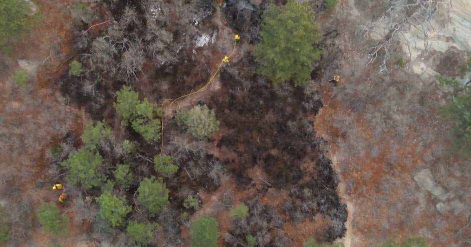
This set-up will bring in some gusty winds over the mountains, Front Range and part of the eastern plains for Tuesday. Along with the winds, humidity levels may drop into the single digits! As a result, about 3/4ths of eastern Colorado has a warning or a watch for fire danger going on.
There is a Red Flag Warning for high fire danger posted from 9am to 5pm on Tuesday for all of the Front Range Foothills and southeastern plains.
At the same time a Fire Weather Watch for areas from Limon to Burlington down to Lamar for the same time period.
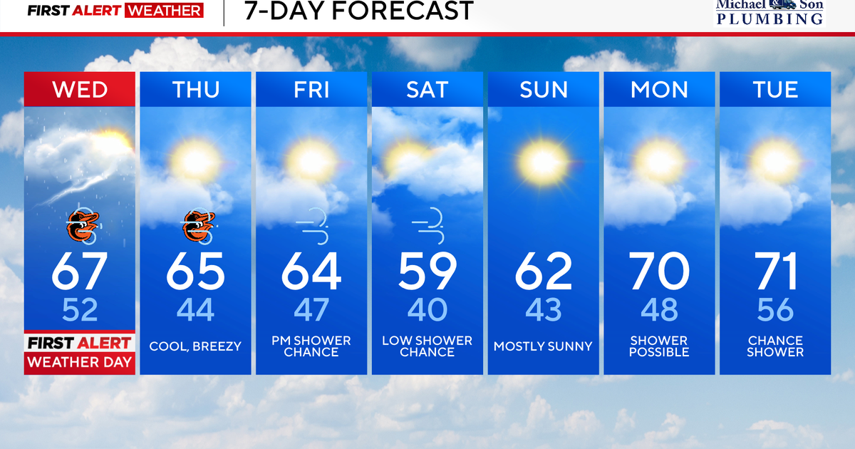
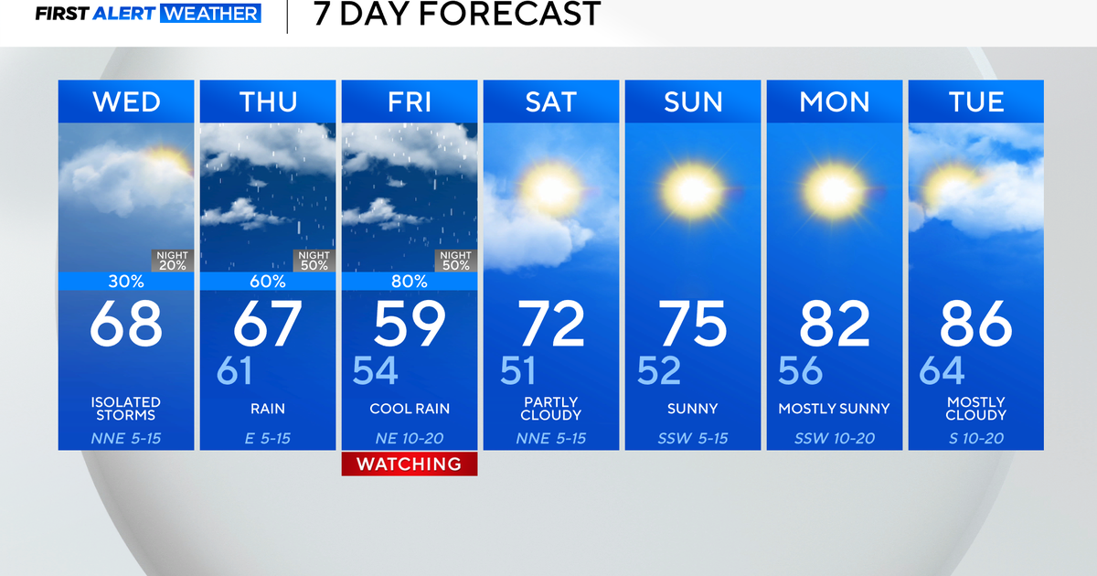
Tuesday night our much needed moisture maker moves into the state. This will be a cold front that will drop temperatures by at least 20 degrees for most and bring in some accumulating snow in the mountains. Eastern plains may see very light amounts of rain mixed with snow or a few flurries with little to no accumulation.
This may make travel conditions a little slick in the mountains starting Tuesday night running through Thursday morning. Impacts across Denver and the eastern plains will be minor but , there may be a few slick spots Wednesday night.
The quick moving storm system should push out by the the time we get to Thanksgiving.


