All Eyes on April Fools' Day Storm
Today is going to be a sunny one with late-day clouds and highs in the upper 40s to lower 50s. With light west winds, a sea breeze will likely develop this afternoon which will cool off the coast.
So, we can go back to March 31 and April 1 of 1997.
25.4" of snow fell which is written in the record books as the 4th biggest snowstorm in Boston's recorded history and the greatest 24-hour snow event in Boston's history. Those are jsut some tidbits for the watercooler.
Watch Melissa's forecast:
With that being said, let's talk about this April Fools Day 2011.
We are watching the newest model runs closely as a coastal low is now being depicted by the 3 most reliable model sources - NAM, GFSx, and the EURO.
However, it's the track of the storm that is becoming very tricky. The NAM shows the coldest (farthest east) solution while the EURO has the surface low passing across eastern Mass and the GFSx has the warmest solution with the vortex of the low passing through central Mass.
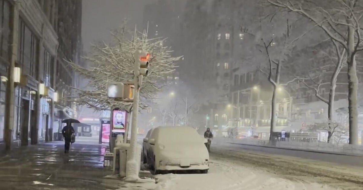
If we take a model blend, it would turn out as a rain/snow mix for southeastern Mass/Cape/Islands... mix and snow for the North Shore through Boston down to Worcester... and an all-snow event for areas north and west of 495.
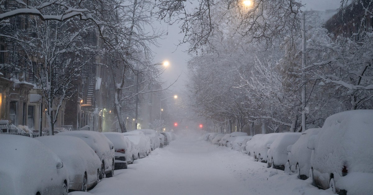
There are QPF amounts of 1-2" amongst the models which could mean a 6-12" snow event (~ 10:1 ratio) for areas that maintain all snow.
As you know, we are still 36-48 hours out from this storm which is plenty of time for models to fluctuate.
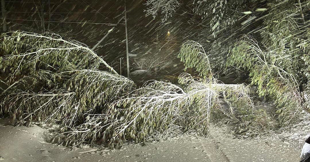
However, it's important to be prepared for a nor'easter. Winds will gust from 25-50 mph from the northeast as well.
As we say for many winter storms, 'nowcasting' is going to be key for this storm that departs quickly Friday evening/night.
Stay tuned!
Melissa :)
