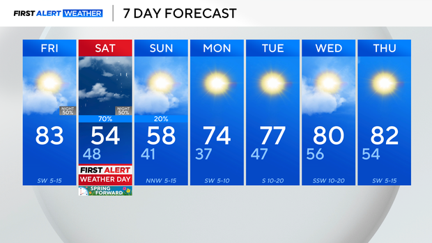
North Texans get a pleasant start to the weekend before rain, cooler temperatures arrive

The weekend begins pleasantly before storm chances return across North Texas.
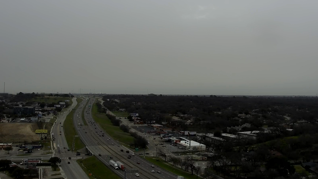
Friday morning began dismal across North Texas with lots of cloud cover in place. But don't let that fool you into thinking there's a bad day in the forecast.
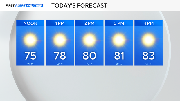
A dryline will move into North Texas and clear the clouds out by midday. The afternoon will feel like springtime with high temperatures in the lower 80s with sunny skies.
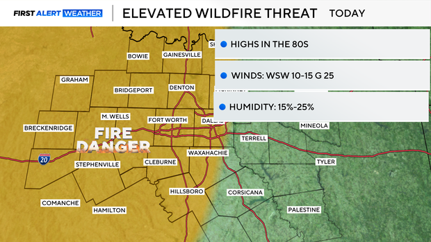
There is an elevated fire danger west of the I-35 corridor Friday behind the dryline. Humidity levels will drop to 15%-20% with winds gusting to near 25 mph.
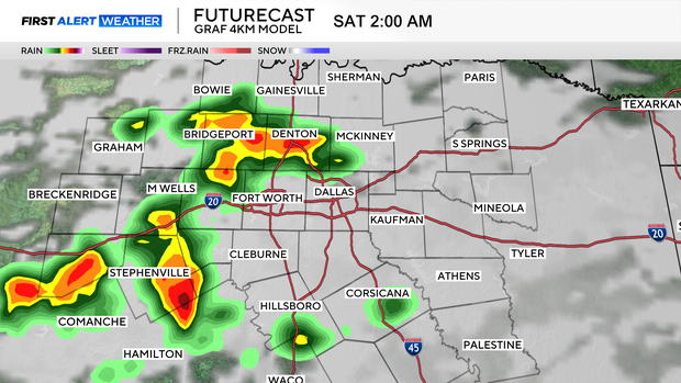
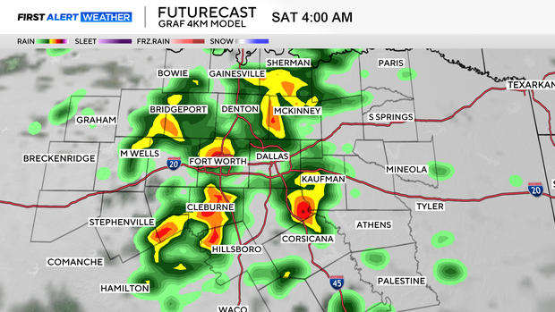
A First Alert Weather Day is in place Saturday for two things: Overnight as a cold front moves through North Texas, there is a chance of showers and some isolated strong to severe storms. Behind the front, there is a colder air mass and high temperatures across North Texas will be colder than today by 30 degrees.
The cold air sticks around through Sunday but then there will be a nice warmup going into spring break week for a lot of North Texas students.