Warm and Windy = Fire Danger
FIRE RISK RETURNS TOMORROW
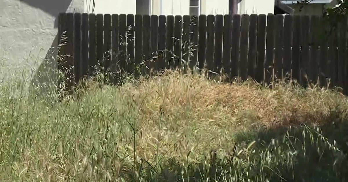
There is no need to mention the severe drought across north Texas, it can be seen with your own eyes.
The trees look like fall has started early, we can't even remember when the pastures were green. In these conditions any day that includes gusty winds, warm temperatures and low humidity the phrase "Fire Weather Watch" is going to crop up.
There is one in effect for tomorrow for the Metroplex and areas to the south. We had several reports of grass fires today including north Tarrant County that threatened a preschool; others were reported in Coppell and Grapevine.
Tomorrow the winds will be a little higher, out of the southwest 15-25mph as a cold front comes down from the north. That front should arrive during the afternoon hours over the metroplex turning the winds to the northwest. Wind shifts are always dangerous if a large fire is in progress, fire fighters will have to monitor the location of the cold front through out the day.
This is where the front is forecasted to be at noon tomorrow, just to the north of the metro:
FALL STARTED YESTERDAY, SUMMER TEMPERATURES RETURNED TODAY
Highs at DFW reached to 96°, within 3° of tying the record high for the date. Waco hit 98°, it is forecasted to hit 100° there tomorrow. The cold front will bring in cooler temperatures to our northern counties tomorrow, highs should be in the upper 80's from Bowie over to Paris. The DFW area should get into the mid-90's before the front arrvies mid-afternoon. By Monday highs will stay in the upper 80's in most areas with a lesser north wind.
DROUGHT COUTINUES
No significant rain chances ahead. The front tomorrow runs into very dry air, rain chances will be off to our east. We are going to spend all most of the work week with highs in the low 90's. There is a slight chance for some rain on Tuesday night as that cold front returns and stalls over our area. Another front comes in late Thursday;there is a slight (20%) rain chance for late Thursday and Friday. We'll go into next weekend with highs in the upper 80's.
Three Day Forecast:
Tonight: Fair Skies and Mild, lows in the upper 60's with a steady south wind.
Sunday: Fire Weather Watch for our souther half. Highs from I-20 and south in the mid-to-upper 90's. In the 80's near the Red River. Winds SW 15-25 turning to the NW in the afternoon.
Sunday Night: Partly Cloudy, lows in the upper 60's.
Monday: Mostly Sunny, Highs in the upper 80's, winds NE 5-10
Tuesday: Mostly Sunny, Highs in the low 90's.