Severe storms possible Thursday evening, Friday morning
NORTH TEXAS (CBSNewsTexas.com) – Today has been all about the clouds – clearing line has moved in for some of our western counties, leading to sunnier skies and temperatures in the 70s and 80s.
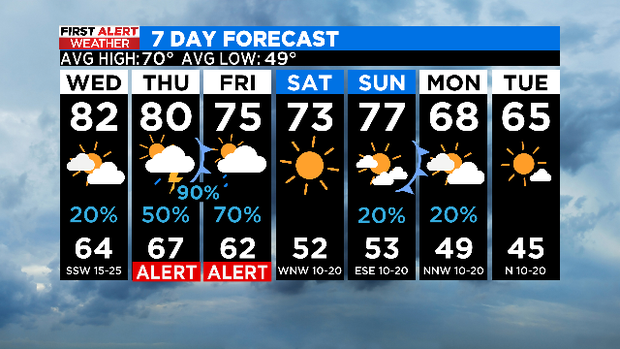
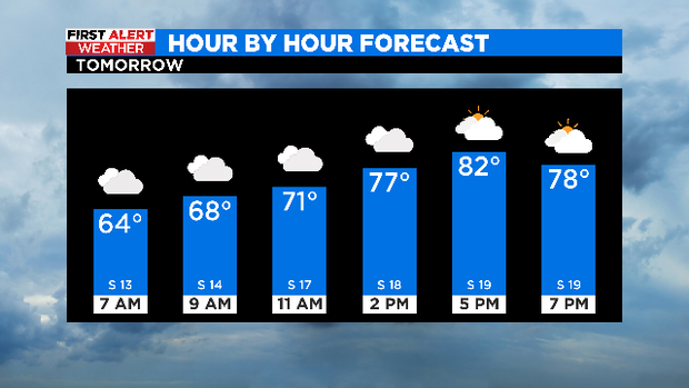
Compare that to cloudier skies and low 60s to the east. A warming trend will continue overnight though. Southerly winds and a return of clouds…we'll start off in the mid 60s for most Wednesday, and highs should warm into the upper 70s and low 80s in the afternoon.
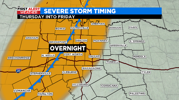
We have extended our weather alert now into Friday. In fact, we'll have to watch model trends – there's a possibility that most of North Texas will be storm-free Thursday and not see much activity until overnight/Friday morning when the cold front moves in.
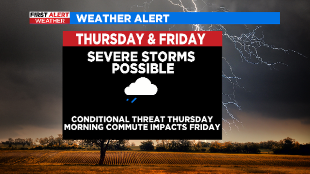
Thursday's storm activity will be associated with a dryline, so the threat is conditional. The main threat with any of these dryline storms would be hail.
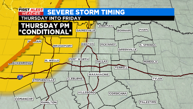
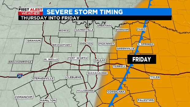
The associated cold front will start to move in overnight into Friday morning, leading to the majority of the stormy weather. A line will come together, leading to the main threat being damaging winds.
Threat pushes east by mid-morning and into the afternoon.
We've got a great weekend on tap – another cold front arrives for Monday, knocking highs back into the 60s!