Mid to Upper 90s in the Forecast with Low Rain Chances
HOT WEATHER CONTINUES WITH A SMALL CHANCE OF STORMS SOUTH OF I-20 THIS EVENING…
Last evening we saw a few storms make it as far north as southern Bosque and Hill County. These storms then progressed into Navarro, Freestone, Henderson and Anderson County. Just like last evening, these same areas could see a few storms again. And severe weather would be possible with large hail and damaging winds the main concern. It looks like all of this activity if it makes this far north will stay well south of the metroplex.
It remains hot with temperatures in the low 90s as of 3pm. South of the front temps are in the mid 90s. Tomorrow and Thursday will be hotter with highs in the mid to upper 90s!
Storms are developing south of a stationary front which as of 3pm was located from Tyler to Hillsboro to north of Brownwood. Here is a look at the map as of 3pm.
So our rain chances are low along and north of the front. In fact here is the forecast rain chances over the next couple of days.
THIS EVENING/TONIGHT
TOMORROW
THURSDAY
COLD FRONT ARRIVES THURSDAY… BUT HOT BEFORE IT GETS HERE…
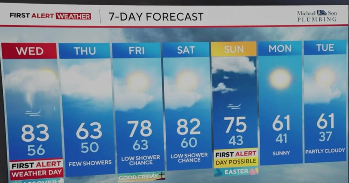
We have a cold front that will arrive on Thursday. Before the front gets here it will get very hot on Wednesday and on Thursday with highs in the mid to upper 90s each afternoon! Behind the front on Friday it will get a little cooler, but still stay warm with highs in the upper 80s. The weekend will be just beautiful for the first weekend of the Texas State Fair. Temperatures will be in the mid 80s with morning lows in the upper 50s. You can see the 7-day forecast right here.
PATTERN CHANGE NEXT WEEK…
It appears there will be a pattern change next week that might finally bring us good rain chances. The upper level air pattern right now has a trough of low pressure in the Midwest and a Upper Level High sitting over the western part of the country.
This pattern will change by the end of next week. That upper level high in the west will be replaced with a trough of low pressure. This pattern would bode well for drawing up Gulf moisture into the southern Plains. And if we can get disturbances to round the upper level low, storms look like a good bet. This probably won't happen until Thursday or Friday of next week.
