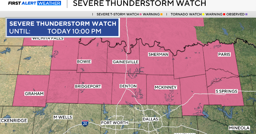
First Alert Weather Update: All Of Metroplex Now Out Of Tornado Watch
NORTH TEXAS (CBSDFW.COM) — Severe weather threatened North Texas overnight into the Wednesday morning commute.
Fortunately, the CAP (a layer of warm, stable air between 3,000 to 7,000 feet above us) stayed strong enough to keep any significant storms from forming.
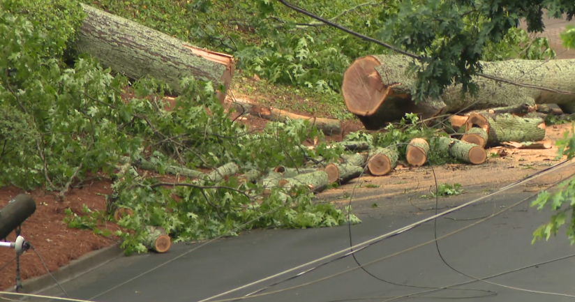
There were no tornado warnings issued overnight; however, there were a few thunderstorm warnings due to the threat of winds up to 60 mph.
Currently, all severe threats are now east of North Texas.
But a significant tornado outbreak is expected across Mississippi and border states as the line of storms intensify. An unusually large "moderate" risk drapes across the south. The atmospheric set-up is conducive to long-track tornadoes EF2 or stronger.
A cold front is now moving over North Texas Wednesday morning, sweeping away the severe weather risk. So, expect another windy but much cooler day with highs in the upper 60s.
The lows are expected to drop down to the mid 40s, so make sure to start your day Thursday with a jacket.