Expect More Cloud Cover Early, But Metroplex Temperatures Still Climb Into The 70s
NORTH TEXAS (CBSDFW.COM) - Temperatures are looking up as North Texans rounds out the workweek. On Wednesday high temperatures hit 70°, today we are going for 73°.
You will notice a bit more cloud cover around midday, due to a disturbance sliding through the area. But the clouds clear out for the evening hours and give way to lots of sunshine on Friday.
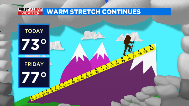
Our adventurous cliff climber is tackling the mountain in February on his way to 77° for Friday afternoon.
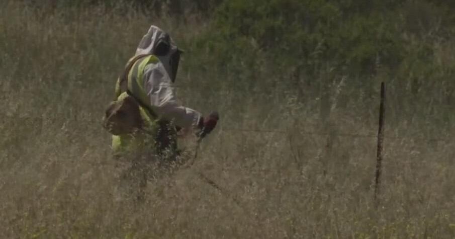
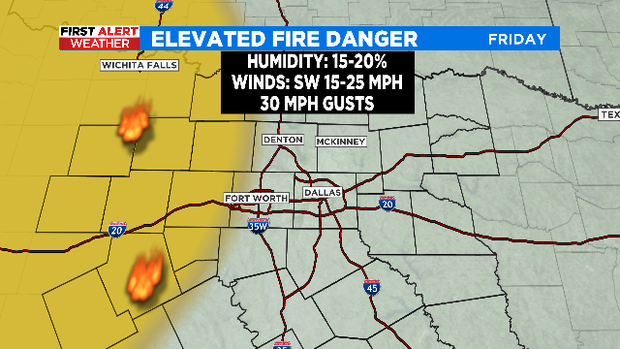
Friday's boost in temperatures is in part due to strong southwesterly winds. They will be sustained at 15-25 mph with gusts to 30 mph leading to an elevated fire danger mainly west of Interstate-35.
Those breezy southwesterly winds become breezy northerly winds Saturday, thanks to a cold front late arriving Friday night. Cold air will slide into North Texas to start the weekend keeping our afternoon temperatures in the 50s but making it feel like the 40s most of the day. Clouds return Saturday and so did our rain chance. Models are hinting at a few showers mainly east of I-35 for Saturday, most of us will remain dry.
The clouds clear our Saturday evening, allowing for lots of sunshine on Sunday. Temperatures are already rebounding to wrap up the weekend, back into the mid 60s on Sunday afternoon after a chilly morning near 30°.
Valentine's Day is looking picture perfect.
We are tracking our next chance for decent rainfall the middle of next week. The system will also bring some cooler temperatures to the area for the end of the work week.