Blizzard to the East, Warming Up Here
So low clouds and even a little ice fog around this morning but a little afternoon sunshine and a shift to a southeast wind will warm us to the low 50's:
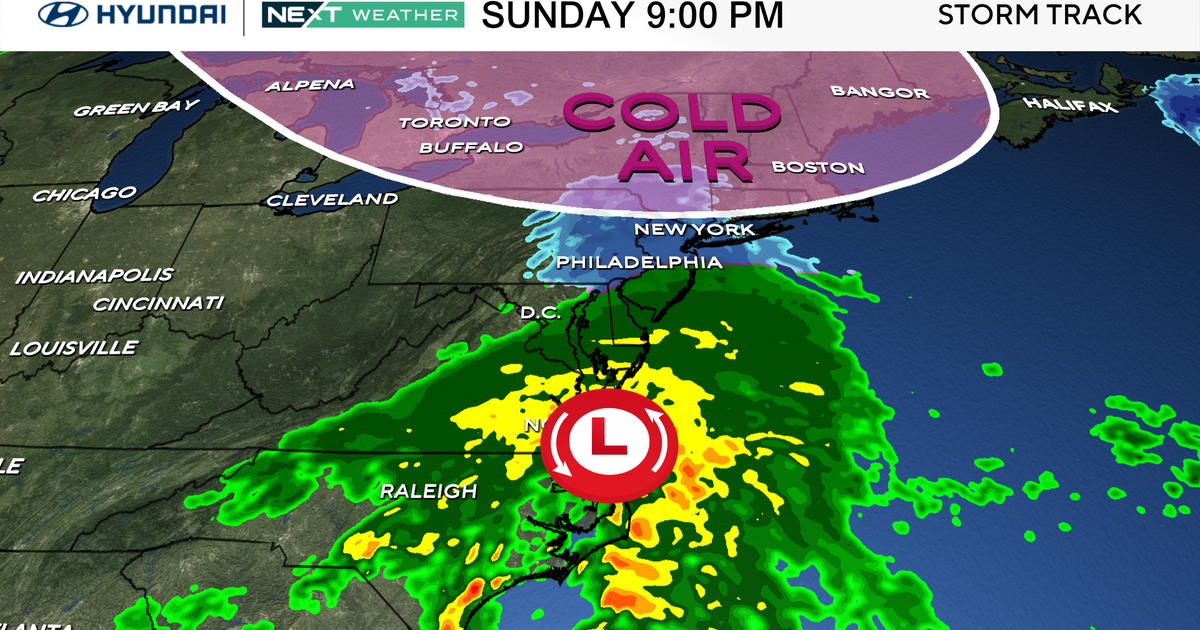
The historic winter storm off the East coast is the story today. Heavy snow and high winds are hitting a large swatch of the Northeast Megalopolis. It started snowing in Washington, D.C. at noon yesterday and is still coming down. Some areas could end up with two feet of snow before the storm pulls away in the early morning hours of Sunday:
k
New York City could end up with 2 feet of snow in Central Park. Another foot of snow will fall today on D.C.:
Winds along the coastline are gusting to 60 mph at time through the day bringing down power lines covered in a wet, heavy snow:
How did this happen? It's a clash of warm air and cold air. Temperatures this morning where in the 20's along the east coast. Meanwhile, just off shore the Gulfstream is bringing 75°-80° water up from the tropics:
Powering the storm overhead is a jet stream that is whipping along at 150mph. All these ingredients allowed for the storm to intensify over the last 24 hours:
In north Texas it is tranquil weather in comparison. We'll hit the low 60's on Monday before another cold front arrives. Colder on Tuesday but it should warm back up by next weekend. Right now it looks like there is no precipitation in the forecast until we get into February.
