New Round Of Rain Set To Douse Bay Area After Dry Weekend
The next round of rain is set to begin this coming week. Once it starts falling, there won't be a dry day in the Bay Area until perhaps Friday.
Watch CBS News
The next round of rain is set to begin this coming week. Once it starts falling, there won't be a dry day in the Bay Area until perhaps Friday.

The National Weather Service is warning of an increased risk of sneaker waves at Bay Area beaches from 9 a.m. Sunday through 3 a.m. Monday.

Images of a looming funnel cloud forming over Highway 70 in Oroville surfaced on social media on Wednesday afternoon.

Rain will taper off Saturday night but will return Sunday and won't let up until Monday, according to weather officials. More storms are expected next week.

The National Weather Service issued a wind advisory for the North Bay Mountains, East Bay hills, the Diablo range and Santa Cruz mountains, predicting gusts up to 55 mph.

Rough waves remain a risk to beachgoers and marine operators through late Tuesday afternoon across Bay Area coastlines.

A storm is expected to pummel the region with rain and heavy winds Sunday and continue into the evening as high surf pounds the Bay Area coast.

A potent weather system approaching the Northern California coast was expected to churn up massive waves starting Sunday, some towering as high as 50-feet, prompting warnings to stay away from the beach.
A National Weather Service forecaster is issuing an extraordinary warning: stay off Bay Area beaches when the big waves arrive late this weekend.

The National Weather Service has issued a dense fog advisory for the North and East Bay valleys, in addition to the San Francisco Bay north of the Bay Bridge early Tuesday morning.

A dense fog advisory covering areas of Contra Costa County east of the Willow Pass has been called by the National Weather Service.

Heavy rain and storm conditions Wednesday evening caused the National Weather Service to issue an Urban Flood Advisory for portions of the Bay Area lasting until 11:30 p.m.

The storms are expected to start Wednesday and with them will come shifting winds that should push smoke north into Nevada and Idaho instead of south to the Bay Area.

The Rincon Fire that closed Highway 9 and burned 17 acres north of Santa Cruz was fully contained Sunday evening, according to Cal Fire.

The National Weather Service has issued a fire weather watch for the North and East Bay hills surrounding the San Francisco Bay Area above 1,000 feet for late Monday until Wednesday morning.

No place in the United States is expected to be colder than normal this winter, thanks to a weak El Niño brewing, U.S. meteorologists said.
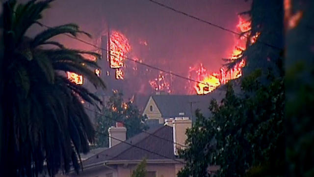
Gusty offshore winds and dry conditions prompted the National Weather Service Saturday to issue a Red Flag warning for critical fire conditions this weekend in the Bay Area.

A National Weather Service satellite monitoring Hurricane Florence has recorded a wave reaching 83 feet in the storm churning in the Atlantic Ocean.

According to the U.S. National Weather Service, smoke from the California wildfires is now affecting the skies high over states like Ohio.

A red flag warning has been issued for parts of the North Bay this weekend for high fire danger due to gusty winds, hot weather and low humidity, according to a statement from the Sonoma County Sheriff's Office.

Researchers are eager to better understand Northern California's atmospheric river storm, which is bringing flood warnings to the area.
Researchers are eager to better understand Northern California's Atmospheric River storm, which is bringing flood warnings to the area.

Temperatures tumbled throughout the San Francisco Bay Area to record lows early Tuesday as a cold front tightened its grip on the region.

A weather front rolling into the San Francisco Bay Area Sunday afternoon will send overnight temperatures plummeting into the 30s by Monday night and early Tuesday morning, forecasters warned.

Rain will spread across the Bay Area late Sunday night and periods of rain will continue into Monday night.