Temperatures Drop Into 80s For Cinco De Mayo
Big weather changes are on the way for Northern California as a low pressure system backs into the state.
Watch CBS News
Big weather changes are on the way for Northern California as a low pressure system backs into the state.

Sacramento could tie the record high temperature of 94 degrees Friday afternoon, but these hot and sunny days will be ending soon.

A wind advisory is in effect for the Sacramento Valley until Noon on Wednesday. NNW winds are blowing 15-30 mph, gusting to 40 mph.

The warm weekend temperatures will continue into next week, giving us a warm start to the week with the strong winds picking back up.
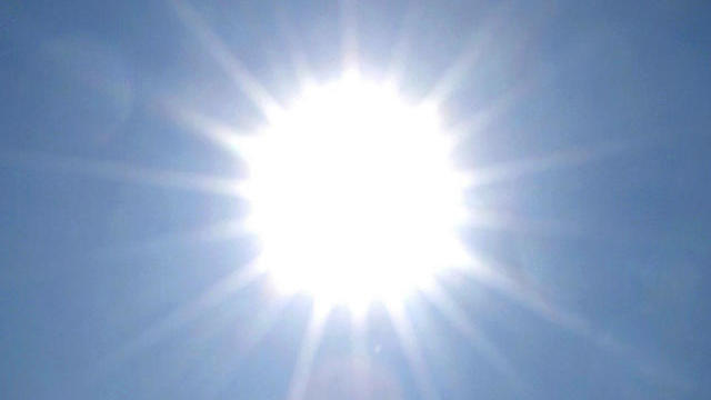
The above normal temperatures continue to impact Northern California as weekend highs reach into the 90s.

Northern California received a taste of summer Sunday, which will continue until midweek.
Temperatures across the valley are soaring into the low 80s to kick off the weekend.

Rain showers are expected to return Thursday morning as the next storm moves through the region.

It's a beautiful Friday, but the weekend won't have a beautiful end, if you're hoping for clear skies. The timing isn't great, but we'll take the moisture we can get.

Some much-needed moisture is headed our way, which is evident by the cloud cover in the area.

Expect a mix of clouds and sunshine before a small storm moves into the region, bringing possible showers Wednesday.

The pleasant weather we had this weekend will continue into Monday with temps hovering in the low 70s in Sacramento.

The storm has pushed off east of Sacramento, and at around noon Wednesday, was moving into the foothills. Although the worst of the storm is over, there's a chance of rain this afternoon.

The pleasant weather we had this weekend will soon come to a close as a storm system is set to impact Northern California.

Sunny skies and breezy conditions were found throughout the Valley Saturday with temps running ten degrees above normal.

Rain has stopped for most of the region, but there are threats of pop-up thunderstorms Wednesday afternoon, while the much-needed snow starts to pileup in the high country.

The pleasant weather over the weekend will soon come to a close as a storm system is set to impact the area this week.

Near-record high warmth and sunshine Friday took a back seat to cloud cover and slightly cooler temperatures in the low 70s.
Sunday started with breezy conditions, but slowly the wind did relax in the evening hours with temperatures topping out in the low 60s.

It was a windy Saturday afternoon in the Central Valley with some locations near Modesto seeing gusts of 30 miles an hour.

Sunshine and light winds will help boost high temperatures into the mid 60s to kick off the weekend for the Sacramento area.

Sierra ski resorts received a little bit more snowfall overnight in the last stages of a winter storm that hit Northern California this week.

Tuesday's winter storm that made for a sloppy mix of rain, hail, snow and even tornadoes has now moved south out of California, but the effects lingered with snow school closures and delays for road clean-up Wednesday.

The wonderful weekend is coming to a close with a cool and clear night on tap for Sacramento as rain is expected to move in for the beginning of the work week.

It's another round of above normal temperatures for Sacramento region and Northern California this weekend.