Temperatures in the Pittsburgh area will be much cooler today than over the past few days

Temperatures in the Pittsburgh area will be much cooler today than they were over the past few days.
Any Alert Days Ahead? Nope
Aware: We make the change today with us now seeing more daylight than nighttime. Today's sunrise is at 7:29 with sunset happening at 7:30. We will continue to see daylight growing through the middle of June.
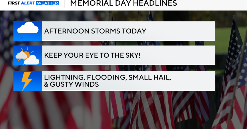
Is it lucky to have green on radar for St Patrick's Day? What about white? There is a chance for you to see both light rain and snow before noon. The only impact to area drivers would be a little reduced visibility, but honestly, it doesn't look like either one will be that impactful.
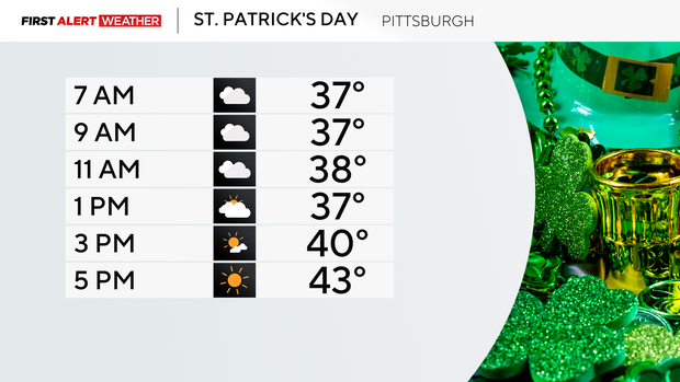
Temperatures will have an impact on things with them being all over the place over the next week. Today's temperatures are fairly easy to track. We saw our high temperature hit at midnight. For Pittsburgh the daily high will stand at 47°. We will see temperatures get back to the mid-40s though this afternoon. I have morning lows bottoming out in the mid to low 30s with cloudy skies through around 1p. Skies will be partly cloudy for the rest of the day. Winds won't make it feel any better; they'll be coming in out of the northwest at around 10mph.
We should see a nice warm-up both on Tuesday and Wednesday. I have Tuesday highs hitting the mid-60s. I expect to see highs in the mid-70s on Wednesday. Thursday morning is when things begin getting interesting with a morning cold front that will bring a line of rain and storms for the morning commute. Temperatures will begin to drop after that with highs on Friday and Saturday just around 50 degrees.
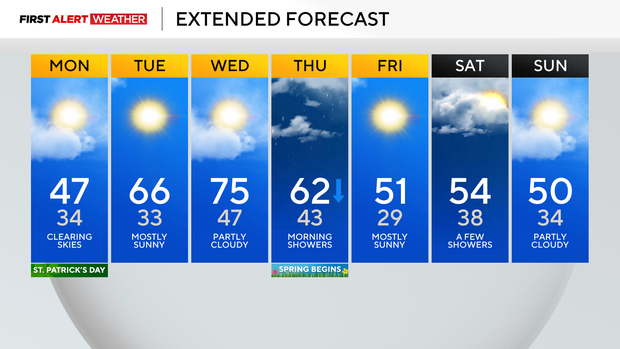
Lows are the most interesting part of this though with a low of around 43 expected on Thursday and a low in the 20s on Friday!
WEATHER LINKS:
Current Conditions | School Closings & Delays | Submit Your Weather Photos