Snow Threat Increases
Low pressure developing off the Mid-Atlantic is tracking northeast and spreading rain into our area.
Watch CBS News
Low pressure developing off the Mid-Atlantic is tracking northeast and spreading rain into our area.
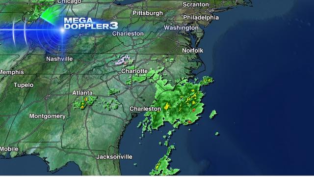
As expected, upper-level energy over the southern U.S. is developing a low pressure system off the southeast coast Tuesday morning. The low will continue to intensify and track up the east coast, but how far offshore is still the question.

The last two runs of the American Model (GFS) are shifting the track of the developing Nor'easter further east.

Power problems persist across our area and thousands remain in the dark since Sandy hit last week. Eyewitness News found one man surviving in the dark and cold, the old-fashioned way.

Residents of Long Beach Island are only just getting their first look at the damage and destruction caused by Hurricane Sandy. They were allowed back for a few hours on Monday and officials say they likely won't be let back in until Saturday.

By now, everyone is aware that we'll be facing the threat of a potent nor'easter on Wednesday, but even as the storm time frame approaches, the models continue to throw curveballs.

We have had several days to cleanup and the dry trend continues right through Tuesday, but while we're cleaning and restoring powers, a coastal low takes shape to the south.

Lower Merion Township has opened multiple warming stations throughout the township due to power outages caused by Superstorm Sandy.
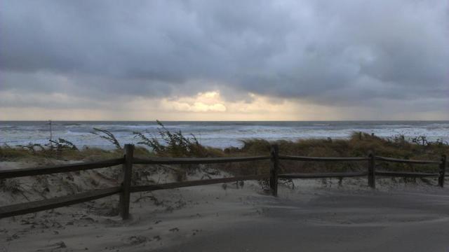
It does indeed look like there is a chance that a storm forms off the southeast coast late Tuesday and then moves northward. The question is: Where does it go after that?

Multiple mandatory evacuations have been issued for residents living in the Delaware Valley.

Sandy will be called a post tropical cyclone when it makes landfall, even though it will be coming in at category 1 hurricane strength.