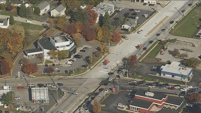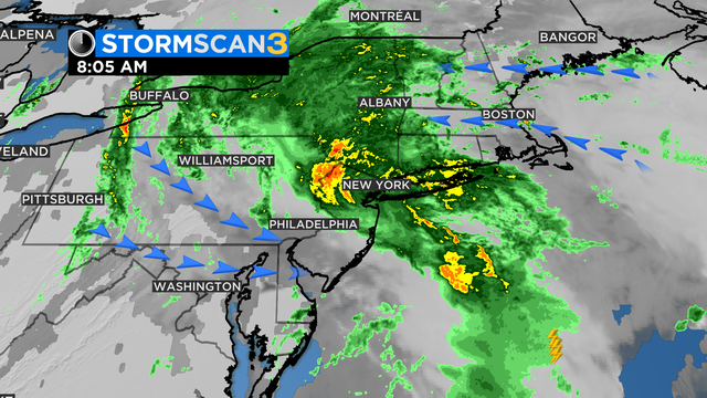
Philadelphia Weather: Flood Warnings Still In Effect For New Jersey Counties As Storm Moves Through
The Philadelphia area has a marginal risk for severe weather starting Monday evening into Tuesday.
Watch CBS News
The Philadelphia area has a marginal risk for severe weather starting Monday evening into Tuesday.
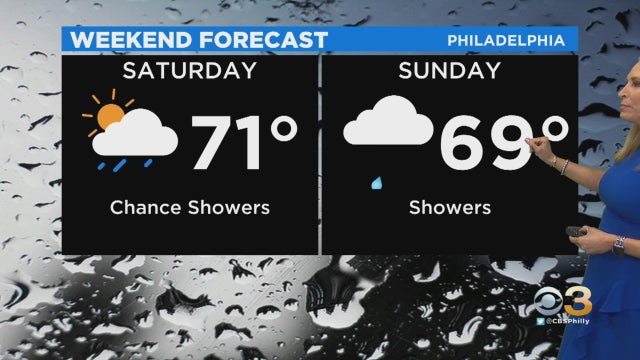
It will be a pleasant afternoon across the Philadelphia region on Friday but clouds are expected to increase this evening and spotty showers are possible.
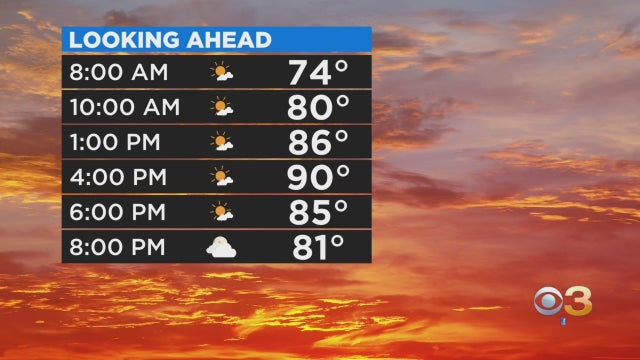
High temperatures and elevated humidity will peak on Wednesday and by Wednesday night a cold front will work its way through the region, bringing an increased chance of scattered storms.
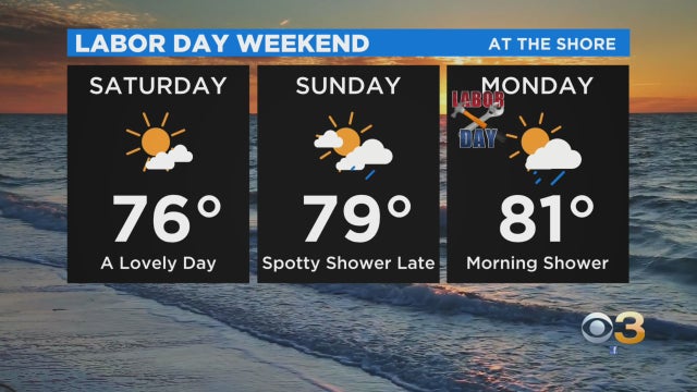
For folks heading down the Jersey Shore to enjoy Labor Day Weekend, beautiful beach weather lies ahead.

Hot and humid conditions will round out the work week as a heat advisory is in effect for Philadelphia and the I-95 corridor until 8 p.m. on Friday.

There's been a heat advisory issued for the South and Southwest Jersey, including the shore, and the Poconos, and parts of Delaware until 8 p.m.
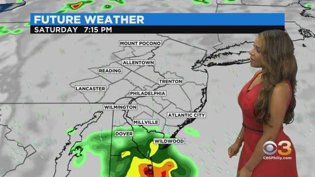
A few spotty or scattered thunderstorms will be possible Saturday and Sunday, but neither day will be a washout.
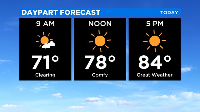
CBS3's Llarisa Abreu says you can expect another really nice day across the Delaware Valley.
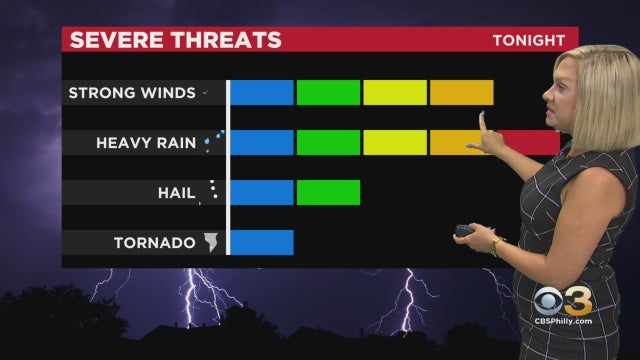
Multiple severe thunderstorm warnings have been issued for parts of the area on Saturday.
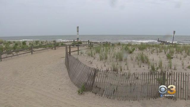
Ocean City is bracing for a night of heavy rain and high winds from Elsa.
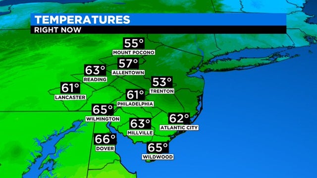
It's going to be a tale of multiple fronts on Wednesday

Since 1970 the average emergence date of cicadas is up to a month earlier along the east coast and deep south.
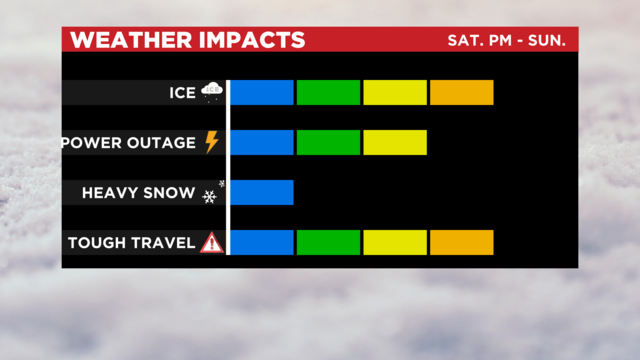
Another winter storm forecasted will only be the start of what should be a very active week for the region.
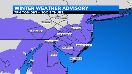
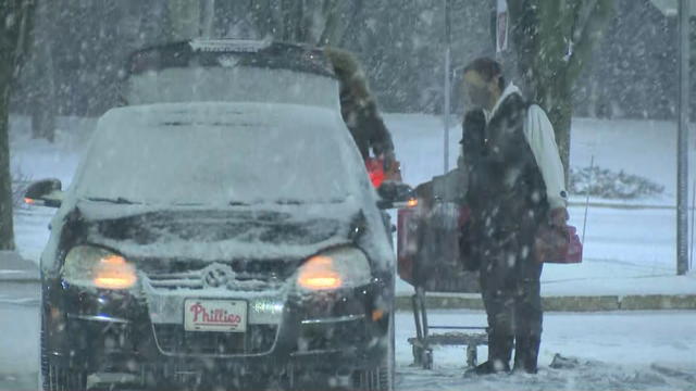
Anticipate a pretty scene outside your window tonight as light snow develops across the area.
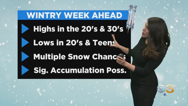
The next chance of snow develops Wednesday evening as a series of disturbances may yield an extended period with rounds of snow from Wednesday night into Friday.
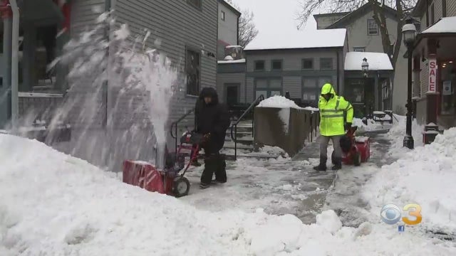
With streets cleared, small mountain ranges of snowbanks cropped along curbs in Princeton.
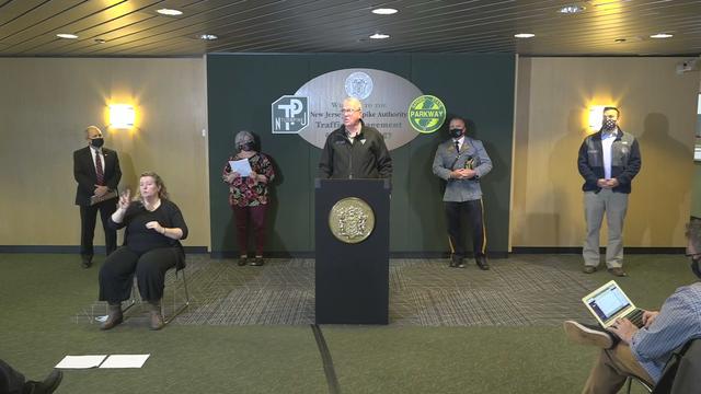
Gov. Phil Murphy on Sunday declared a state of emergency in order to deploy resources as needed.
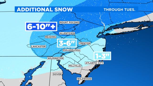
It's the biggest snowstorm for the region in five years.
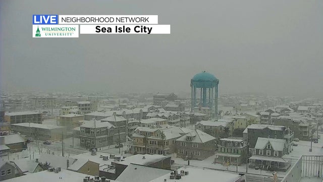
The state of emergency will go into effect at 7 p.m. Sunday and will affect all 21 counties in the state.

The usual preparations are underway in the area, from treating the roads to getting the rock salt ready.
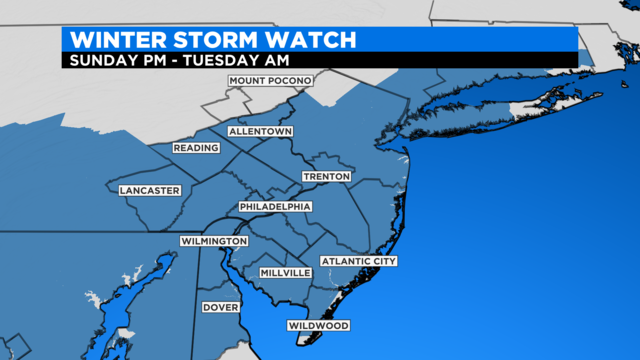
Stay with the Eyewitness Weather Team as we continue to update you on the evolving winter storm.

See the unofficial snow totals for the Philadelphia region, according to the National Weather Service.
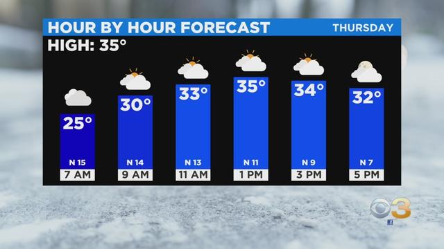
Lots of icy roads and sidewalks were reported after a powerful Nor'easter slammed the Delaware Valley Wednesday overnight into Thursday.
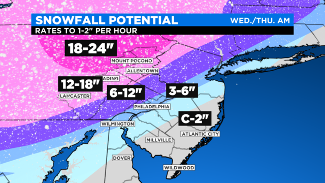
Precipitation is likely to commence for most by mid-afternoon, become heavy in the evening and continue tonight into early Thursday morning.
South Jersey will see a wintry mix or just rain while the northern part of the state is expected to be walloped with 12 to 18 inches of snow.