Crisp temps for first full day of winter in Philadelphia area, tracking snow and rain. Here's the forecast.


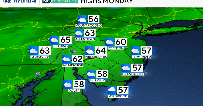
Monday is the first full day of winter, and it will not disappoint in the Philadelphia area. It will be cold, but sunny. Temperatures will start in the 20s and warm to near 40 degrees Monday afternoon. Clouds increase Monday night ahead of the clipper system that will start to spread a wet snow and/or wintry mix across the region after midnight.
NEXT big weather change
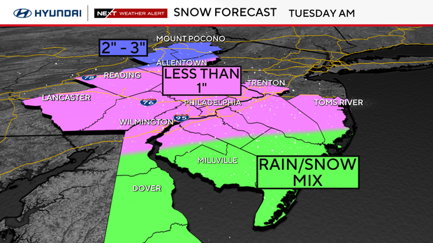
Our NEXT Weather maker arrives on Tuesday. We've issued a NEXT Weather Alert for a snow-rain mix that will impact the morning commute.
A relatively fast-moving system will start to spread precipitation across the region overnight Monday into Tuesday morning. The precipitation will mostly start out as a wet snow but begin to transition to a wintry mix or rain/snow mix through Tuesday morning.
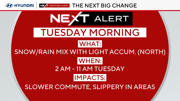
The biggest impacts are expected between 4-10 a.m. on Tuesday.
While some areas will see snow, others will get more rain:
- PHILLY, I-95 AND PA SUBURBS: Coating to 1 inch of snow
- SOUTH JERSEY, CENTRAL DELAWARE AND THE SHORE: Rain/snow melt
- LEHIGH VALLEY, BERKS COUNTY: 1-2 inches of wet snow
- POCONOS: 1-3 inches of wet, sloppy snow
No winter weather advisories have been issued, and temperatures will climb back above freezing later in the day Tuesday.
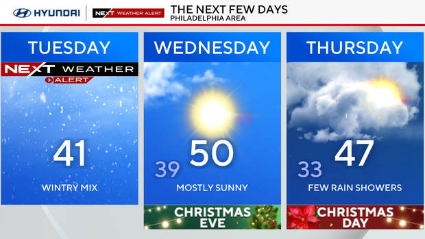
Conditions will remain dry Wednesday, but a small chance for a few rain showers will move in for Christmas morning. Right now, it looks like if any precipitation does fall it'll be mainly rain.
Christmas forecast
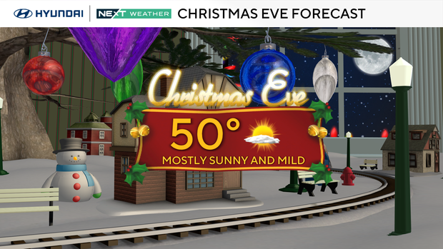
Christmas Eve and Christmas Day are trending seasonable to mild, with highs mainly in the 40s. Dry, sunny and mild weather on Christmas Eve will make for a great travel day.
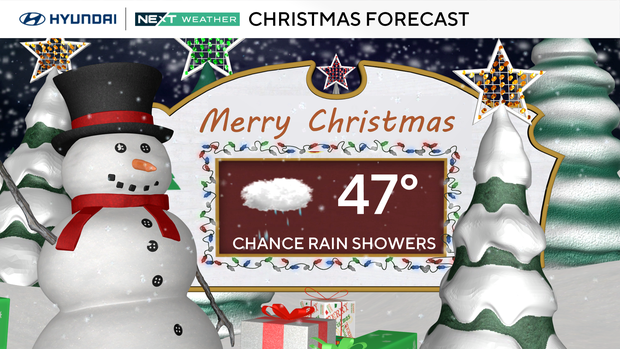
High temperatures on Christmas Day will be in the upper 40s, and a fast-moving system will bring clouds and a chance of rain showers.
A separate system will bring more rain showers on Friday to start Kwanzaa, but neither Thursday nor Friday is shaping up to be a washout. The active pattern will continue into the weekend with more rain chances expected on Sunday.
Here's your 7-day forecast:
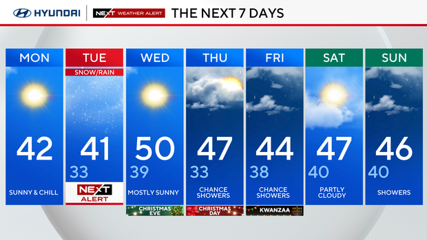
Monday: Sunny and chilly. High 42, low 25.
Tuesday: NEXT Weather Alert for mix to rain. High 41, low 33.
Wednesday/Christmas Eve: Mostly sunny. High 50, low 39.
Thursday/Christmas Day: Chance of showers. High 47, low 33.
Friday: Chance of showers. High 44, low 38.
Saturday: Partly cloudy. High 47, low 40.
Sunday: More showers. High 46, low 40.