Tuesday in Philadelphia will be coldest since February, tracking rain, snow. Here's the weather forecast.
After a cold start to the morning Tuesday — with temperatures the coldest they've been in the Philadelphia region since February — it will still feel like the 20s all day long.
Hand and foot warmers will be needed for those who work outside all day. You'll want to keep animals inside as much as possible, and make sure your kids are wearing layers if outside at the bus stop heading home.
We saw record lows Tuesday morning, too: in Trenton, New Jersey, it was 11 degrees, breaking the record of 12 degrees; and in Mt. Pocono, Pennsylvania, it was -4 degrees, breaking the old record of -1.
A Code Blue is in effect in Philadelphia and communities around the region. People in need of shelter in the city are encouraged to visit an intake center.
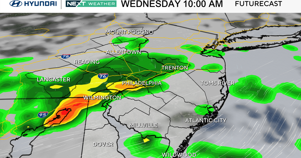
We're in a NEXT Weather Alert for today's cold and for the NEXT big thing in the weather forecast: Rain, snow and a wintry mix, including freezing rain, hitting our region on Wednesday.
Our NEXT big weather maker
Our next system arrives Wednesday with light rain for most, and a mix of rain and snow possible across the higher terrain and chilly rain showers for the Philly area starting around noon.
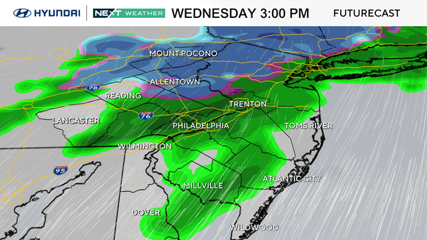
Across the Lehigh Valley, while surface temperatures should be above freezing, any colder or untreated surfaces may get slick with a mix of snow and rain at the onset of precipitation.
Roads may be dicey through the evening drive, and for that reason, we have issued another NEXT Weather Alert for Wednesday.
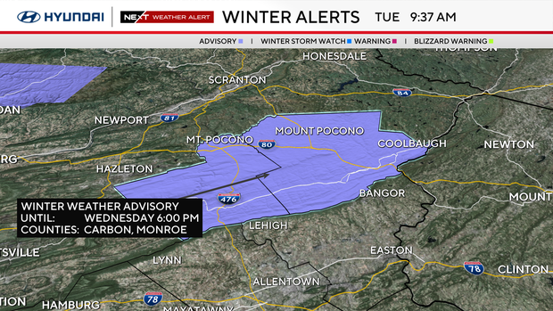
A Winter Weather Advisory has been issued for the Poconos, with 2-plus inches of snow in the higher terrain.
Looking ahead, another system may bring light rain or snow to the region Saturday night into Sunday, followed by yet another –possibly colder – blast of Arctic air.
Here's your 7-day forecast:
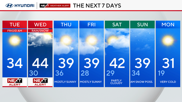
Tuesday: NEXT Weather Alert for Arctic air. High 34, Low 17.
Wednesday: Late showers. High 44, Low 30.
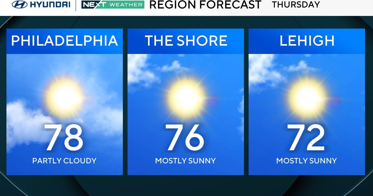
Thursday: Mostly sunny. High 39, Low 36.
Friday: Partly cloudy. High 39, Low 28.
Saturday: Bitter again. High 42, Low 29.
Sunday: Very cold. High 39, Low 34.
Monday: Very cold. High 31. Low 19.