Rain lingers in NYC with some stronger storms possible in N.J.
Severe storms returned to the Tri-State Area, making it a soggy Thursday morning.
It's a First Alert Weather Day Thursday morning due to the threat of severe thunderstorms.
The greatest flash flood threat is focused southwest of the city. There are some hevaier pockets of rain with embedded thunderstorms but the severe risk looks low.
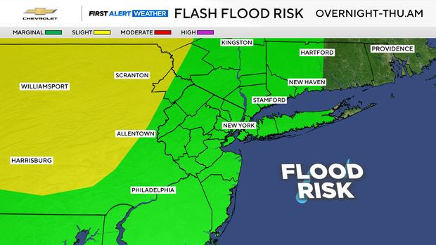
Flooding is likely confined to poor drainage areas. It will be most widespread through sunrise, then tapering off northwest to southeast.
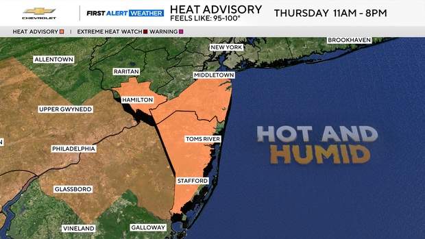
After 11 a.m., a break in activity, with some sunshine, will allow high temperatures to reach the mid to upper 80s, but the tropical levels of humidity will make it feel more like the mid to upper 90s for portions of New Jersey. A Heat Advisory is in place for Monmouth and Ocean counties from 11 a.m. to 8 p.m.
Thunderstorms may return for the evening hours Thursday; however, the severe threat isn't as high as the morning hours.
A slim chance of a shower or storm will linger into Friday, with highs in the low 80s. Cooler and drier conditions arrive just in time for Labor Day weekend.


