Stormy weather to impact NYC area as heat advisory continues
The potential for severe storms and downpours returns to the Tri-State Area Monday as sweltering temperatures continue.
It's a First Alert Weather Day due to the possibility of afternoon and evening thunderstorms and high heat, with temperatures feeling like 100 degrees.
A severe thunderstorm watch has been issued in New York City until 9 p.m.
A heat advisory is in place for all of New York City, northeastern New Jersey, Lower Hudson Valley, most of Long Island, coastal Fairfield County, Westchester and Rockland counties through 7 p.m.
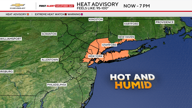
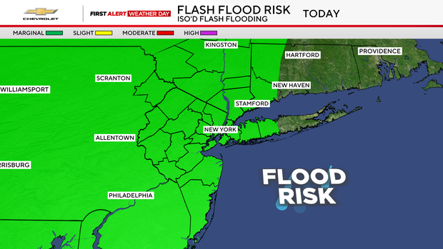
Monday starts off sunny, but things will ramp up in the afternoon and evening hours with the chance of strong-to-severe storms. With the high humidity, any storms that develop can produce torrential downpours that could lead to flash flooding.
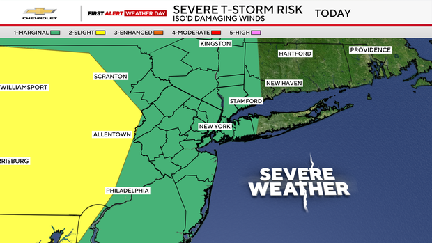
Other potential storm hazards include damaging winds, hail, and a slim chance of a tornado.
Highs will be around 90 degrees, but the heat indices will range from 95-100 degrees.
The weather improves as the week goes on, but daily storm chances will continue.
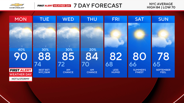
Things should clear up just in time for the weekend. Starting Friday, a pattern change will set in, bringing a September feel to the Northeast. It will feature lower humidity levels and highs in the upper 70s to low 80s.