Severe weather is expected to threaten the NYC area later Monday. Here's the latest forecast.
The potential for severe weather will return to the Tri-State Area on Monday.
It will be a First Alert Weather Day due to the possibility of afternoon and evening thunderstorms and high heat indices near 100 degrees.
A heat advisory is in place for all of New York City, northeastern New Jersey, coastal Fairfield County, most of Long Island, and Westchester and Rockland counties through 7 p.m. on Monday.
Monday forecast
Although it was a tad less humid on Sunday, higher humidity levels will return to begin the new week. Mostly clear skies will remain in place Sunday night, with lows ranging from the mid 60s to the mid 70s.
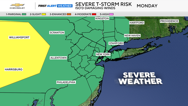
Sunshine will kick off Monday, followed by a chance of strong-to-severe storms in the afternoon and evening hours. With the high humidity back in place, any storms that develop will be capable of producing torrential downpours that could lead to flash flooding.
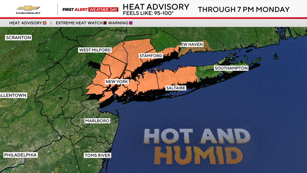
Other potential storm hazards include damaging winds, hail, and even a slim chance of a tornado spinning up. Once the sun sets, the storm risk will diminish Monday night. Similar to the last several days, highs will top out in the low to mid 90s, with heat indices ranging from 95-100 degrees.
A look at the rest of the week
Daily storm chances, along with heat and humidity, will continue through Thursday.
Beginning Friday, and lasting into next weekend and beyond, a pattern change will set in, bringing a September feel to the Northeast that will feature much lower humidity levels, and highs in the upper 70s to low 80s.