First Alert Weather: Cloudy with mild temperatures Monday; Rain expected Tuesday
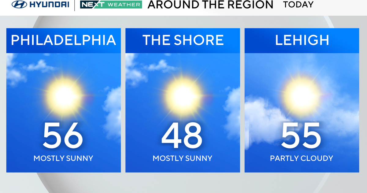
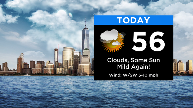
Forecast: Today will feature more clouds overall, but there will be some brighter breaks at times. The mild stretch continues with highs in the mid 50s this afternoon. Despite the extra clouds, we remain dry today. Skies will be mostly cloudy tonight with lows in the 40s for most of the area... some 30s in the distant NW 'burbs. Some fog likely develops late at night.
Looking Ahead: Heading into Tuesday, the mild temps continue but things turn a bit unsettled. A few showers could be around tomorrow morning, but the best bet at a period of widespread showers moves in for midday, mainly 10am and after. As of now, much of the steadiest will be for the northern half of our area, from the city and points to the north. Far southern locations may not pick up much of anything.
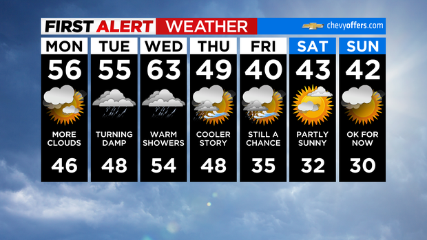
While some briefly heavier bouts are possible, mainly to the north, it's overall just another nuisance rain-maker. No flooding concerns are expected, and much of the activity quickly exits by late afternoon. For Tuesday evening and Wednesday, things stay unsettled with scattered showers/drizzle around. After highs in the 50s tomorrow, temps Wednesday could easily get into the 60s.