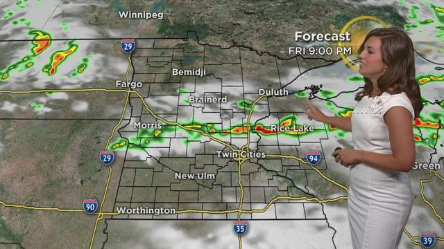
Minnesota Weather: Severe Storms Possible Friday Afternoon, Evening
The stretch of cool weather this week is over. Temperatures are expected to climb into the 80s Friday, making the atmosphere unstable and bringing the possibility of severe storms.
Watch CBS News
The stretch of cool weather this week is over. Temperatures are expected to climb into the 80s Friday, making the atmosphere unstable and bringing the possibility of severe storms.

If a tornado or storm watch is issued, that is your heads-up to have a heightened awareness, as a warning could be implemented at any time.
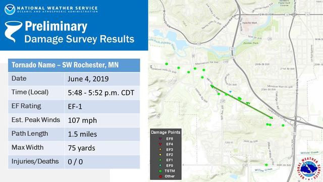
Weather officials have confirmed that an EF-1 tornado touched down in Rochester earlier this week.
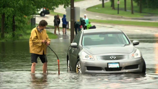
Severe thunderstorms have rolled across central and southern Minnesota, bringing winds gusting up to 80 mph, multiple reports of hail and cutting power to more than 4,000 people.

As Hennepin County's population has expanded -- nearly doubling since 1950 -- the number of sirens has increased.
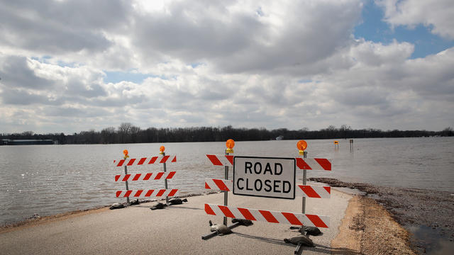
Officials say flooding, blizzards and strong winds from mid-March to late April caused damage totaling $39 million -- well above the $8 million threshold required for a federal declaration.
It is important for everyone to have a warning system in their bedroom, a cell phone equipped to alert you to tornado warnings, or even better a weather radio.

It became calm and clear in the Twin Cities Friday night, but severe storms -- and a possible tornado -- swept through northern Minnesota.
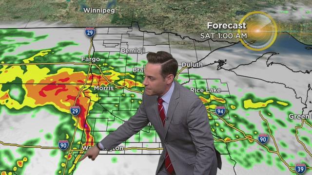
After the hottest day in 240 days Thursday, temps are cooling down and storms are expected to roll in later Friday evening.
We've been told for years the safest place to go during a tornado is the basement, but the southwest corner may not be the safest place.

Crews and homeowners are mopping up from a destructive October storm along the North Shore. Enormous waves from Lake Superior came roaring ashore Wednesday, damaging the lakewalk and flooding streets in Duluth.
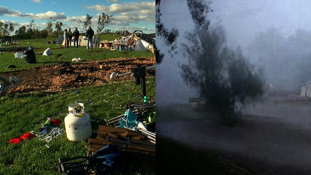
It has been almost three weeks since several tornadoes tore through Minnesota. One of the places hit hard was Kamp Dels in Waterville. Surveillance video from the campgrounds shows the wind start to pick up, the sky goes dark, and then debris starts flying.

A wet September with storms and severe weather means many farmers are getting a late jump on their harvest.
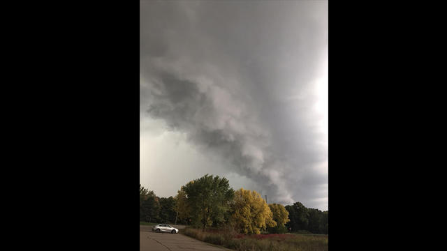
Severe storms raced across the Twin Cities early Wednesday night, leaving behind damage in some areas and knocking out power.
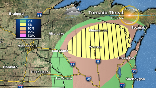
Warm air surging up from the plains Wednesday will bring temperatures in Minnesota into the 70s before clashing with a cold front in the afternoon, creating the possibility for severe storms. Weather officials also expect the dynamic to create a significant tornado threat for northern Wisconsin.
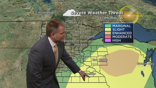
Get ready for a one-day summer flashback before we fall back into fall. The forecast for Wednesday doesn't look at all like typical fall weather for Minnesota, as highs are expected to climb into the upper 70s and stir up severe storms, and possibly tornadoes.

The National Weather Service says there were a record number of September tornadoes that struck southern Minnesota last Thursday.

A volunteer cleanup day in Cannon Falls has been set for Saturday in the wake of severe storm damage.
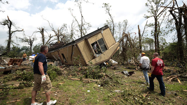
The fierce storm in Cannon Falls Thursday night brought down power lines and caused giant trees to fall and slice through buildings. Incredibly, there are no reports of injuries.
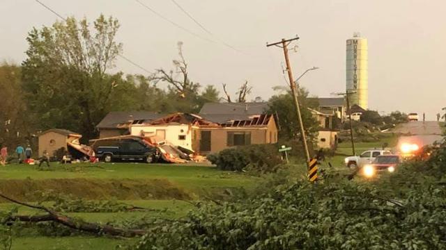
Strong storms that pushed through Minnesota Thursday night caused big damage.
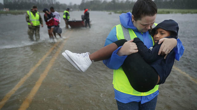
The storm has claimed at least 32 lives and an untold number of homes on its slow march across North Carolina.
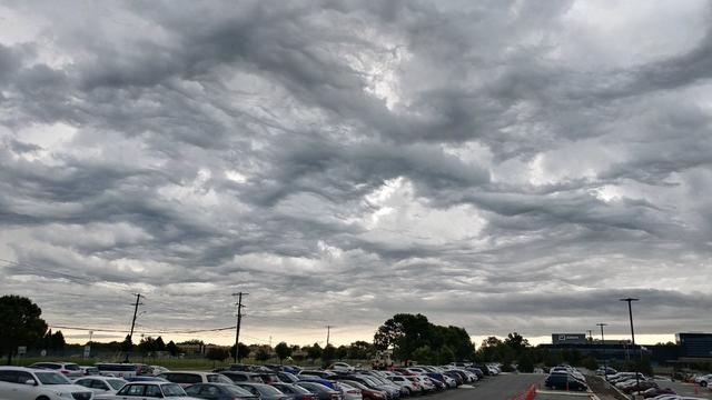
Severe thunderstorms developed Monday afternoon in central and southern Minnesota, causing damage in at least two communities.

The system is expected to reach the Twin Cities around, or possibly ahead, of the evening commute.

The declaration covers 27 counties and three Indian reservations statewide.

Much of Minnesota is at risk for severe weather Friday night, including the Twin Cities metro area.