Interstate 35 Reopened In Northern Iowa As Driving Conditions Improve
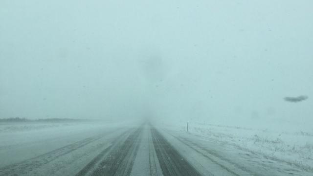
Iowa authorities say Interstate 35 has been reopened in both directions between Ames and Clear Lake, a stretch of more than 80 miles.
Watch CBS News
Iowa authorities say Interstate 35 has been reopened in both directions between Ames and Clear Lake, a stretch of more than 80 miles.

Blizzard warnings are out for much of western and southern Minnesota where gusty winds are expected to make travel treacherous. The National Weather Service is posting blizzard warnings for west-central Minnesota into the southwestern and south-central areas of the state through noon Monday.

The official National Weather Service tally for the MSP airport for our February snowstorm is 9.4 inches. But, chances are, if someone stuck a ruler in the snow this morning, they'd find something different.

Some communities around the Twin Cities woke up Wednesday morning to more than a foot of snow following a night of blizzard-like conditions that brought Minnesota some of the biggest snowfall totals of the season.

Minnesotans are digging out from a powerful storm that dropped a record amount of snow in the Twin Cities and created blizzard-like conditions to the south.

Some students have the day off in Minnesota as a powerful storm approaches the state. The storm is expected to bring blizzard-like conditions to far southern Minnesota through Tuesday night. Wind gusts of up to 40 mph could cause whiteout conditions.

Heavy snow and strong winds are expected to move into Iowa, but likely not until after voters gather for the state's leadoff presidential caucuses. However, possible blizzard conditions could complicate candidates' plans to leave the next day.

After a warm weekend in which highs on Saturday might climb near 40, a significant snowstorm may be in store for early next week.
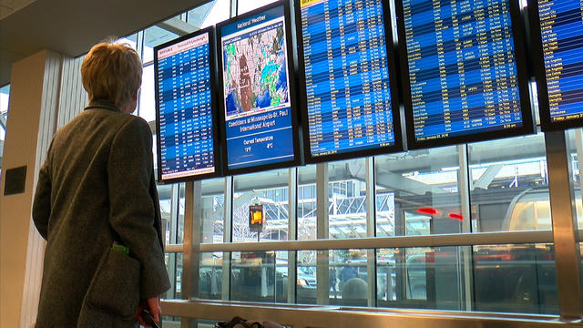
The National Weather Service says the blizzard bearing down on the East Coast could be one of the worst snowstorms the region has ever seen, and it's causing flight delays and cancellations at Minneapolis-St. Paul International Airport.

Bitter cold temperatures and dangerous wind chills are keeping Minnesotans in the deep freeze for a third day. The National Weather Service issued a wind chill advisory until noon Monday for a southern and central Minnesota where the wind will make it feel like 25 to 35 below zero.

Thanks to El Niño, the winter was off to a relatively mild start. But the National Weather Service says Minnesota is in for dangerously frigid weather this weekend.

Each Friday, we answer some of our viewers' burning questions. This week, John Lauritsen finds the best way to warm up your car in the winter, some unfamiliar faces at the State of the Union address, and how meteorologists measure wind chill.

Bitterly cold temperatures are settling into Minnesota, prompting forecasters and others to warn about frostbite.
Some residents of southeastern North Dakota and northwestern Minnesota were surprised by heavy snowfall.

Much of southern Minnesota awoke to a layer of snow that came too late for a White Christmas. The National Weather Service says Minneapolis-St. Paul International Airport had 2 inches of snow by 6 a.m. Saturday. Another inch or two of snow was expected across the Twin Cities area Saturday afternoon and evening.

Weather officials say heavy frost on metro roadways Sunday morning led to several accidents and spinouts.
Wisconsin is getting a soaking from rare December rainfall. The National Weather Service has issued flood watches for southwestern, south-central and southeastern Wisconsin as a slug of rain pushes northward into Wisconsin from the central U.S.

Minnesota is starting off December with temperatures that don't bode well for a white Christmas. WCCO-TV meteorologist Matt Brickman says Monday's highs look to be in the mid-40s, with sunshine and breezes from the southwest. Overnight temperatures will barely dip below freezing.

After an early morning wave of snow snarled the morning commute, the second wave is already moving into the state. Snow is already falling in southwestern Minnesota and is expected to reach the metro by early afternoon.

The National Weather Service has issued winter storm warnings and watches for a large part of southern Minnesota, eastern South Dakota and western Iowa ahead of a strengthening storm system.
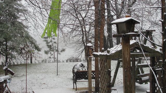
It's late October, and snow is falling in Minnesota. The storm system that moved into the state Tuesday brought snow Wednesday morning as temperatures dropped.

Some people in Minnesota and Wisconsin are waking up to the chilly reality of fall temperatures. Readings Wednesday morning were in the 20s in parts of northern Minnesota and 30s in the central region as well as western Wisconsin.
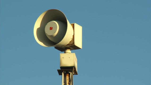
Some tornadoes have touched down in west-central Minnesota. The National Weather Service says a storm chaser reported a brief tornado touchdown near Hawick in Kandiyohi County about 6 p.m. Thursday. Another tornado touched down earlier near Norway Lake, also in Kandiyohi County. The sheriff's office reports no damage.

Thousands are still without power in Minnesota more than a day after severe weather caused damage to power lines and outages across parts of the state.
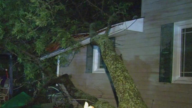
The National Weather Service says an EF-1 tornado touched down in Carver County early Saturday morning during a loud and windy night of severe weather throughout the Twin Cities metro. The tornado caused extensive damage to trees and homes in Watertown and neighboring Hollywood Township.