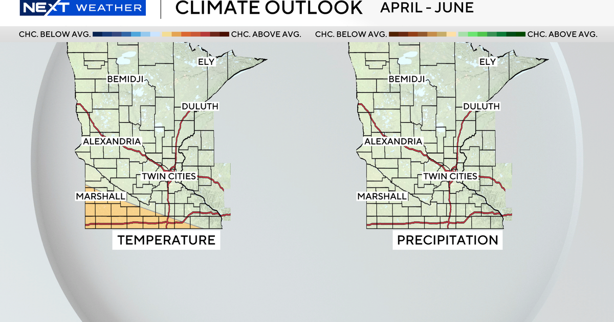
Spring flooding risk is below average in Minnesota this year, National Weather Service says

Friday's rainy weather won't cause any flooding, but this is the time of year when high water can quickly become a problem.
However, according to the National Weather Service, there's a below average risk for flooding this spring.
"Most of southern Minnesota is basically without snow at this point. We have some snow in the north, but it's below normal. And so that's mainly driving why it's below normal," said Shawn DeVinny, a senior service hydrologist with the National Weather Service office in Chanhassen, Minnesota.
Not only will DeVinny and his team look at snow pack when making their outlook, but they assess soil moisture too. And that is also favoring lower than normal odds of high water.
"Up near Duluth, and the Upper Mississippi area is in drought still. And so we would need a lot of moisture, a lot of rain or snow, to change the outlook," DeVinny said.
Their map shows there still is a chance for river flooding, especially in the Red River Valley. That's where there's more than a 50% chance of minor or moderate flooding. But DeVinny says even though the outlook is below average, that doesn't mean it can't happen anywhere.
"If we get a heavy rainfall event while the ground is still frozen, you can get a lot of runoff quickly and flood. And so that's that's tough to predict," said DeVinny.
That's why he said it's important to pay attention to the short term forecast, especially if you live in a flood-prone area.
"You've got to stay on your toes this time of year, because things can change quickly, just like they did in 2024, and they often do change quickly," DeVinny said.
The last official outlook update will be released next Thursday, but the National Weather Service and the NEXT Weather team will keep you updated all season long.