How much snow did Thursday's winter storm drop on Minnesota?
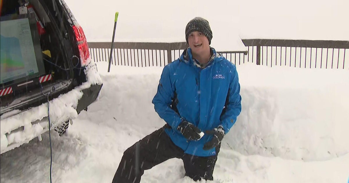
MINNEAPOLIS — Snow piled up across Minnesota as the biggest storm of the winter season so far dragged across the state on Thursday.
A winter storm warning was in effect for a swath of the state stretching from the North Dakota border near Fargo down to Rochester in southern Minnesota. That included the Twin Cities.
Snow rates were intense throughout the morning, but things slowed down around midday. There was another late-night burst of snow in the metro before the system exited the state.
Impressive snow totals were reported by WCCO NEXT Weather Watchers across the state.
On Friday morning, Phyllis Kelly reported 7 inches south of the Twin Cities in Farmington. Farther south, Janice Thompson in Pine Island got 5.3 inches of snow.
In the north metro, Kathy Born measured 4.1 inches in Blaine. Jeff Lovig said 6.2 inches fell in Big Lake.
Jim Hovda saw 4.5 inches in Rice, which is north of St. Cloud. West of the city, Chuck Merdan in Avon got 3.5.
While official totals will be slower to come in, the National Weather Service reported that as of 6 p.m. Thursday, 6 inches had fallen in Chanhassen, 5.2 at Minneapolis-St. Paul International Airport and 2.8 inches in Eau Claire, Wisconsin. The NWS has not yet released widespread totals for Friday morning, but said the highest reported total so far is 8.9 inches in Rice County.
Thursday's storm caused myriad issues, including dozens of school closures and delays, treacherous road conditions and multiple ground stops at MSP Airport.
