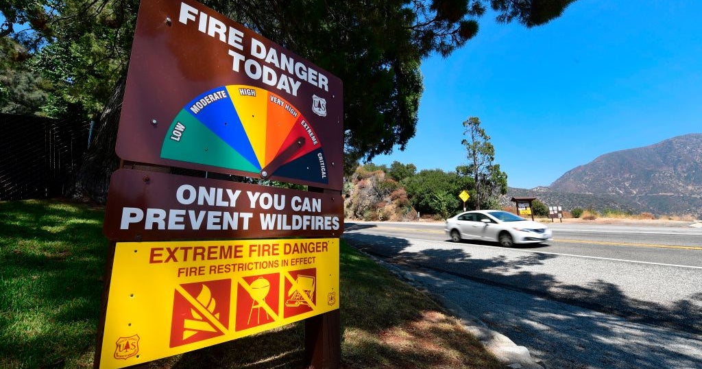
Strong winds, humid air led to active severe weather season in Upper Midwest

Severe weather season in the Upper Midwest is just about over now that the cooler weather is settling in.
From the start, it seemed like this summer was going to be a busy one with severe storms. It was May 15 when seven tornadoes hit Minnesota and western Wisconsin including an EF-2 in New Richmond.
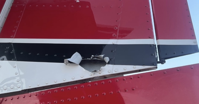
Then in June, a combination of warm, humid air and strong winds led to a derecho — a long duration damaging wind storm on on the early morning of June 21 that blasted Bemidji and northern Minnesota with winds between 100 and 120 mph.
"The No. 1 event in terms of weather events all year long, not just in the severe weather season, is that Bemidji blow down," said Kenny Blumenfeld, senior climatologist with the Minnesota Department of Natural Resources.
As expected, June was the busiest month for tornadoes in Minnesota with the unofficial tally for the whole season sitting close to average at 42 twisters.
"Most of the tornadoes were rated EF-0 or EF-1, which you know these are, they can do some damage," said Blumenfeld. "But it's not the same as with the EF-3, EF-4 type tornadoes."
Just across the river in North Dakota, it's a different story. According to state climatologist Daryl Ritchison, a record number 80 tornadoes touched down this year including the country's first EF-5 in 12 years in Enderlin, the same night as the derecho.
"In North Dakota, first one since the famed Fargo tornado of 1957," said Ritchison. "You always also have to remember the EF scale is a damage scale."
Ritchison added that the state has had tornadoes that strong, but "it just has to hit the right thing, sadly, to be judged as EF-5."
Ritchison says the higher tally is due in part to more storm chasers and better detection techniques.
"I can guarantee you there won't be too many North Dakotans that forget the 2025 season," he said.
On average, Minnesota could still see one more twister through December but that hasn't happened since 2021.