High Winds, Hail Possible As Severe Weather Rolls Into Metro
MINNEAPOLIS (WCCO) -- Thunderstorms are moving through the state and bringing high winds and possible hail.
The weather service radars are tracking the storm through Anoka, Carver, Chisago, Dakota, Hennepin, Isanti, McLeod, Polk, Ramsey, Scott, Sibley, St. Croix, Washington and Wright counties through about 11 a.m.
These storms are moving east at 35 mph.
Residents can expect one-half-inch diameter hail and winds up to 50 mph with these storms.
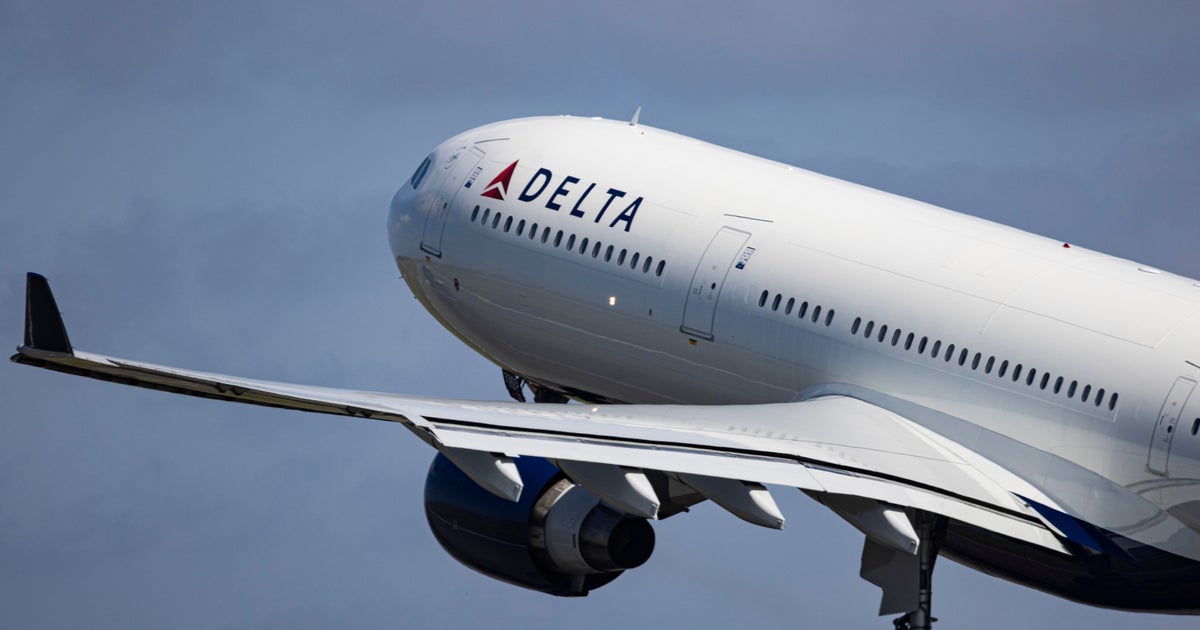
Flights at the Minneapolis-St. Paul International Airport were experiencing gate holds and taxi delays between an hour and an hour and 15 minutes in length, due to the weather, around 10 a.m. Ground stop has since been canceled and flights are resuming as planned.
Stay tuned to WCCO.com and WCCO-TV for the latest.