Red flag warnings in South Florida lead to NEXT Weather Alert on Monday due to high fire danger

It's a cold, windy and dry start to the week, and that's not good news when it comes to the dangerous fire weather conditions across South Florida.
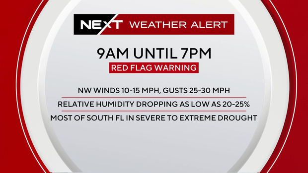
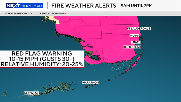
The CBS News Miami NEXT Weather team issued a NEXT Weather Alert that went into effect at 9 a.m. Monday when a red flag warning went into effect for Broward and Miami-Dade counties due to the high fire danger.
A red flag warning is also in effect for the Upper Keys from 10 a.m. to 5 p.m. Monday.
A red flag warning means that critical wildfire weather conditions are either occurring now, or will occur shortly. A combination of strong winds, low relative humidity and warm temperatures can contribute to extreme fire behavior.
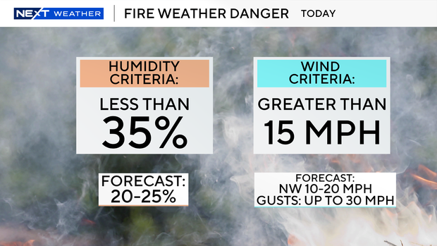
Northwesterly sustained winds of 15 to 25 mph with gusts as high as 30 mph, combined with relative humidity dropping to 20% to 25% led to the red flag warning being issued.
In addition, it's been a cold start to the week with low temperatures falling into the 40s and 50s on Monday morning.
We'll stay breezy and cool on Monday afternoon with high temperatures in the low to mid-60s under mostly sunny skies.
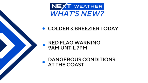
The gusty winds are also leading to hazardous beach and boating conditions. There is a dangerous risk of rip currents along the Atlantic beaches. There's also a small craft advisory for boaters in the Atlantic waters and Keys waters.
Tuesday morning will be even colder as low temperatures drop into the low 40s and upper 30s inland.
A cold weather advisory has been issued for inland Broward and Miami-Dade counties from 3 a.m. to 9 a.m. as wind chill temperatures will drop into the 30s overnight and into Tuesday morning.
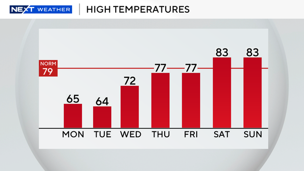
We'll stay cool with high temperatures only reaching into the low 60s on Tuesday afternoon.
There will still be a chill in the air on Wednesday morning as we wake up to temperatures in the 50s. High temperatures will get into the low 70s.
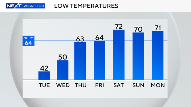
Thursday and Friday morning we'll wake up to temperatures in the 60s and high temperatures will be more mild and closer to average in the upper 70s.
It will be warmer this weekend as high temperatures climb into the low 80s, with a chance of seeing some scattered showers on Saturday and Sunday.
Blizzard blasting Northeast impacts South Florida travel
A potentially historic blizzard is blasting the mid-Atlantic and Northeast with heavy snow and strong winds on Monday, and that's having an impact on us here in South Florida.
Airports across the region, including John F. Kennedy, LaGuardia and Newark and in the New York City area, as well as Boston Logan International Airport have seen thousands of flights either delayed or canceled.
And that's having a ripple effect across the country, including at Miami International Airport and Fort Lauderdale-Hollywood International Airport.
Passengers are being urged to check the status of their flights before heading to the airport, is possible.
And flight disruptions could continue well after the storm exits the Northeast and New England as crews work to clear airport runways of snow and ice, and then get flights back up and running.