Severe Thunderstorm Watch canceled for South Florida, weather threat decreases
The National Weather Service has canceled the Severe Thunderstorm Watch for South Florida. While a few isolated storms may still linger into the evening hours, the severe weather threat has diminished enough for CBS News Miami's NEXT Weather team to end the NEXT Weather Alert.
Severe threat lowers as isolated storms remain possible
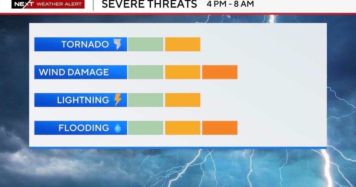
Monday had been declared a NEXT Weather Alert Day as strong-to-severe storms were forecast to develop in the afternoon and move through South Florida throughout the evening.
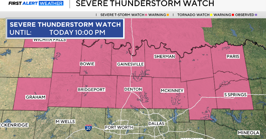
Broward and Miami-Dade counties were under a Severe Thunderstorm Watch until 9 p.m. Monday, with initial concerns over the potential for strong gusts, hail, and heavy rainfall that could lead to flooding. Isolated tornadoes were also not ruled out.
Timing of strongest storms passed
The strongest storms were expected late Monday afternoon into the evening, with the highest chance of rain forecast between 3 p.m. and 6 p.m.
"That is when the more intense, widespread storms are forecast to impact South Florida based on our forecast models," NEXT Weather meteorologist Lissette Gonzalez said.
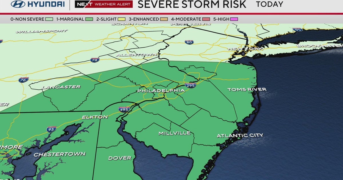
The National Weather Service Storm Prediction Center had placed South Florida under a Level 2 risk for strong to severe storms during the afternoon and evening. The main concerns included hail, localized flooding, and gusty winds.
Main threats: Winds, heavy rain and minor flooding
The primary threats remained strong winds and heavy rain, with brief flooding possible during periods of intense rainfall.
An additional 2 to 3 inches of rain was forecast for Monday, with isolated higher amounts up to 4 inches. Severe thunderstorm warnings could still be issued, indicating storms capable of producing strong winds or hail. Residents were advised to be prepared to seek shelter if warnings were announced.
While the region is experiencing a severe drought, allowing the ground to absorb more rainfall, brief downpours could still cause minor and short-lived street flooding.
Tornado risk remains low but not zero
The tornado threat was low but not entirely dismissed. Interactions between the inland-moving sea breeze and other storm cells could potentially trigger a brief tornado.
The most likely storm hazards over the two-day period remained strong winds and hail.
On Sunday, which was also a NEXT Weather Alert Day, the most intense storms occurred between 2 p.m. and 6 p.m., with Cutler Bay experiencing the heaviest rainfall.
Residents are encouraged to stay tuned to CBS News Miami's NEXT Weather team for any further developments or weather alerts.
Stay alert to the NEXT Weather team for updates and warnings should they be issued.


