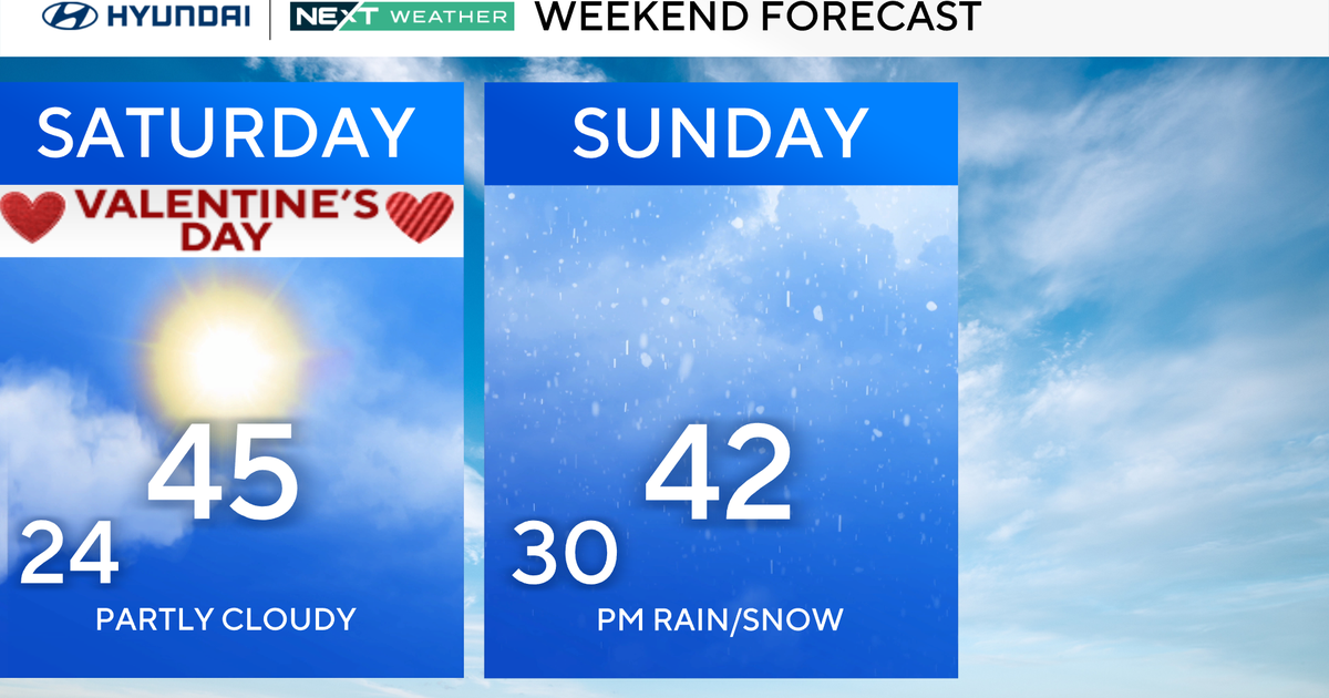
Temperatures Drop And North Texas Braces For Cold Rain, Snow This Weekend
FORT WORTH (CBSDFW.COM) — It was just over a week ago when parts of North Texas received snow to ring in the New Year. Now, the area is bracing for another dynamic winter system that's set to arrive on Sunday.
Widespread wet weather, in the form of rain and snow, is anticipated for the region beginning early Sunday.

The storm system that will bring the snow chances entered U.S. soil early Friday and meandered over the Pacific Northwest. This is important to note, because computer models used by CBS 11 meteorologists to forecast the weather are just now getting true reads on the storm. The new information means a lot can happen in the next 24 to 48 hours, as details become much more fine-tuned.
The storm will roll through the Rocky Mountains on Saturday, before heading to the Lone Star State on Sunday.
Initial thoughts are that the storm will drop some accumulating snow across the western and southwestern locations of North Texas. The potential for snow is much lower near the Interstate-35 corridor.
The forecast remains tricky. Surface temperatures are forecast to rise above freezing for most of the region during the day Sunday, so the precipitation won't accumulate right away.

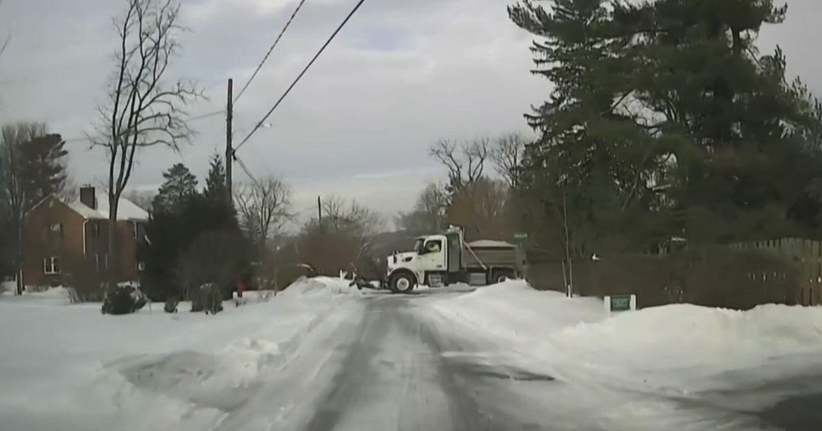
Accumulation of snow will likely not occur until sometime Sunday afternoon and continue into the evening. Locations with the best chance include Stephenville, Comanche, Breckenridge, and Hamilton, where more than 2 inches of snowfall is possible.
Stay tuned to the latest CBS 11 forecasts as we head into the weekend!
MORE FROM CBSDFW