Heavy rain spreads across Colorado Monday as flooding concerns grow

Tropical moisture will bring rounds of rain to Colorado beginning Monday, with the greatest flooding concern starting in southwest Colorado before shifting east.
Rain was already falling across western and southwestern Colorado Monday morning. Showers will expand north and east through the day, reaching the Interstate 25 corridor during the afternoon and evening.
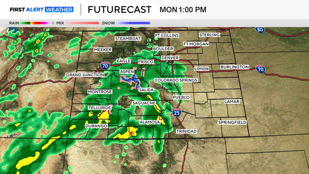
For Denver and the Front Range, Monday will be mostly cloudy with highs in the lower to mid-70s. Rain chances increase during the afternoon and continue into Monday night.
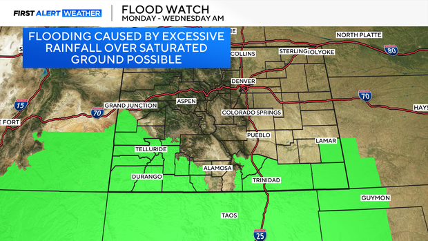
The greatest flooding concern Monday is in southwestern Colorado, where a flood watch remains in effect through early Wednesday for areas including Durango, Pagosa Springs, Telluride, Ouray and the San Juan Mountains.
Another 1 to 4 inches of rain could fall across parts of southwestern Colorado through early Wednesday. Durango, Pagosa Springs and Ignacio have a 60% to 70% chance of receiving more than 2.5 inches.
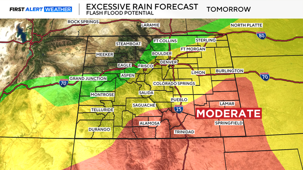
The threat shifts east Tuesday into Wednesday. Wednesday currently has the greatest potential for heavier rainfall across portions of eastern Colorado.
For Denver, the exact storm track will make a big difference. There is currently a 40% chance of receiving at least 1 inch of rain Wednesday, with higher chances southeast of the Denver metro area.
Rain chances continue into Thursday before drier and warmer weather returns Friday and into the weekend.
Accumulating snow is possible above 12,000' in the San Juans and Front Range Mountains.


