Colorado Weather: Fire Danger Returns To The Front Range
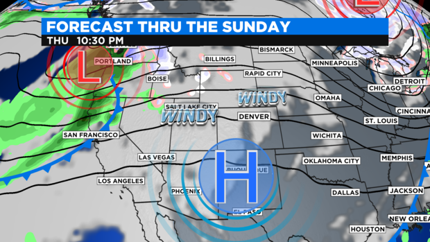
DENVER(CBS)- After cold Thursday morning it looks like the fire danger threat will be ramping up again for parts of the Front Range. On the weather map have a high pressure ridge sliding in over the southern Rockies. At the same time, there is another storm system pushing into the west coast. The westerly flow on top of the high pressure along with a strong pressure gradient between the two will create windy conditions for two days over the mountains and front range.
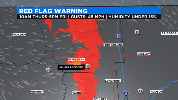
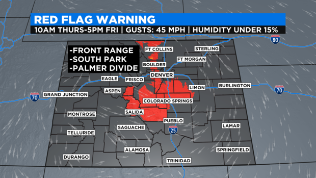
As a result, a Red Flag Warning for High Fire danger has been posted from late Thursday morning thru Friday afternoon for the northern Front Range foothills and mountains. This includes the Kruger Creek Fire near Estes Park for winds up to 45 mph.
The extended Red Flag Warning also includes South Park and the Palmer Divide.
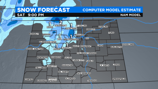
A Weekend cold front should keep winds gusty in the mountains thru the weekend along with a shot of snow on Saturday. Denver and the northeastern plains has a slight chance at a few sprinkles of rain late on Saturday.
It is still three days out but, at this time it looks like mountain snow amounts will be small.