Spring Nor'easter To Bring Snow, Sleet To New England
A whole bunch of precipitation is on the way and it is all about the temperatures.
Watch CBS News
A whole bunch of precipitation is on the way and it is all about the temperatures.
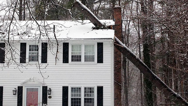
The rare March snowstorm that slammed into the northeast Tuesday brought widespread damage with it, bringing down trees and power lines.
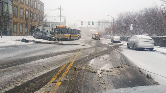
Roads around the Commonwealth were dangerous Tuesday as the winter storm dumped snow across the northeast Tuesday.

With few exceptions, the only things flying around Logan Airport Tuesday morning were snowflakes.
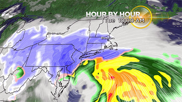
For those that may have been wishing for a big shift in the storm track–sorry, you're out of luck.

It appears as though the next 7-10 days could be our longest stretch of significant cold of the entire winter season thus far.
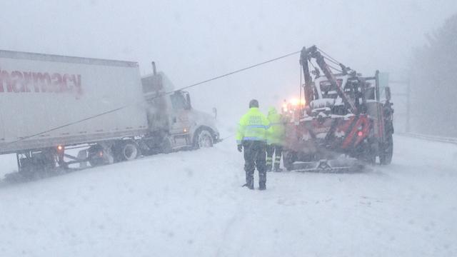
The large Nor'easter that hit Massachusetts with up to 18 inches of snow officially became a blizzard as of 4:30 p.m. Thursday.

The Boston-area transit system reported some delays but no major problems during the powerful storm that hit the region.

A tree was struck by lightning, fell on power lines, and caused a small fire as the Nor'easter pounded Massachusetts Thursday afternoon, East Bridgewater Fire Department said.

A Facebook event is calling for anyone and everyone to come to Boston Common to take part in a huge snowball fight.

In an address from the MEMA bunker in Framingham, Gov. Charlie Baker asked the public to avoid all travel if at all possible during the massive Nor'easter Thursday.

The snow will arrive between 5 and 8 a.m. on Thursday. First flakes falling in southwestern-most New England and then filling in to the north and east.

Along the coast of Scituate, residents accept the harsh winters, and relish the summers.

This one is truly all about location, location, location.

Rain, snow, sleet, wind, flooding rain, & coastal flooding are all threats with this one.

There's a storm on the West Coast that will impact the forecast here at home in a big way for the start of next week.

The forecast doesn't get much easier from here. New England will be on the edge of a very sharp temperature boundary for most of the week.

There still exists a significant threat of a wide swath of 6 inches of snow or more somewhere in southern New England, that location still to be determined.

There is likely to be some heavy, wet snowfall somewhere in New England from this storm Sunday night and Monday.
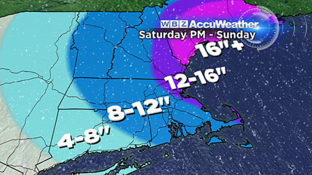
Here's what we can expect Saturday night into Sunday.
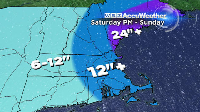
We are now tracking what looks to be another significant blow this weekend. Another nor'easter. Another potential blizzard.

As another storm is ready to pummel the Northeast, climate change experts offer an explanation of why record-breaking amounts of precipitation may become a norm for the region.

A nor'easter-type event could possibly bring a foot of snow to Boston.
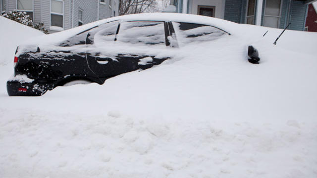
As a nor'easter prepares to pummel the Northeast, environmentalists have turned to climate change to explain this season's storms.
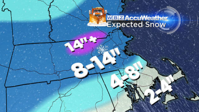
Another major winter storm comes to New England.