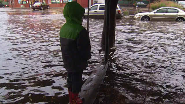
Rain Totals: Who Has The Most?
Here are the latest rainfall totals from the National Weather Service in Boston and Rob Macedo, the SKYWARN Coordinator for the National Weather Service in Taunton.
Watch CBS News
Here are the latest rainfall totals from the National Weather Service in Boston and Rob Macedo, the SKYWARN Coordinator for the National Weather Service in Taunton.

Here are the latest rainfall totals from the National Weather Service in Boston and Rob Macedo, the SKYWARN Coordinator for the National Weather Service in Taunton.
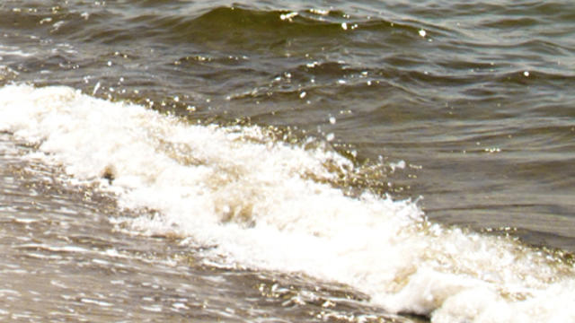
The Massachusetts Department of Conservation and Recreation has closed Horseneck Beach in Westport to swimming due to the threat of rip currents that will continue into Wednesday evening for Cape Cod, Martha's Vineyard, Nantucket, the south coast of Rhode Island and Block Island.

National Weather Service meteorologists have confirmed an EF2 tornado touched down in Revere Monday morning.
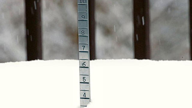
Here are the latest snowfall totals from the National Weather Service in Boston and Rob Macedo, the SKYWARN Coordinator for the National Weather Service in Taunton.
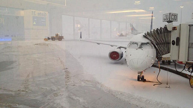
Massachusetts Ports Authority officials are urging travelers to check with their airlines before heading to Logan International Airport in Boston after the latest winter storm triggered slew of flight cancellations.
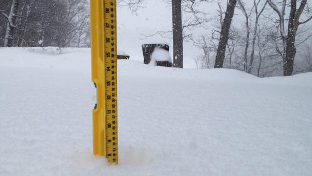
Here are the latest snowfall totals from the National Weather Service in Boston and Rob Macedo, the SKYWARN Coordinator for the National Weather Service in Taunton.

The National Weather Service reported Sunday that temperatures in Hartford, Conn., Providence, R.I., and Worcester, Mass., hit record highs for the day.

Freezing rain, sleet and snow was forecast to move into northern New England on Saturday amid warnings of a possible ice storm that could make travel difficult and cause widespread outages in parts of Vermont, Maine and New Hampshire.
Here are the snowfall totals for Tuesday, December 17.
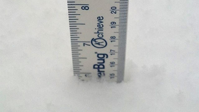
Here are the snowfall totals from Rob Macedo, the SKYWARN coordinator for the National Weather Service in Taunton.
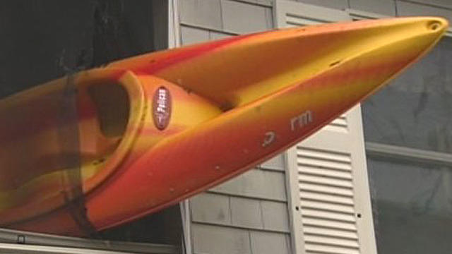
The National Weather Service has confirmed that a microburst hit Wareham and Onset Tuesday night, just a day after Hurricane Sandy.

A milder SSE wind is in place this morning with temps in the 50's and Lwr 60's. Early Breaks of morning sun are fading to Mostly Cloudy skies. Highs will climb to near 70-75 by late in the day with mainly dry, muggy and breezy conditons for Eastern MA. Not a bad day on the Cape. Winds will pick up from the south this afternoon with gusts to 30 mph.
Sunshine and light SW winds will allow temps to warm up quickly this morning into the afternoon. Highs will be climbing into the mid-upper 70's inland. Winds will be light enough to turn onshore during the afternoon...a sea breeze will keep temps in the Lwr 70s at the beach. High clouds may increase a bit during the afternoon...but just an all around stellar day outside.
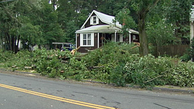
The National Weather Service has preliminarily confirmed that that microburst hit part of Taunton during Friday's storms.
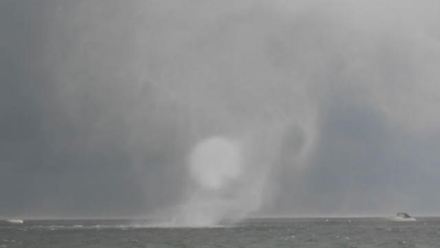
The National Weather Service in Taunton has confirmed that a tornado touched down in Plymouth last week.
The clouds extend across all of eastern MA into NH. Meanwhile there is bright sunshine from Worcester west. After a cloudy morning, as the low begins to pull away, I expect some of the drier weather from the west to begin to work eastward eroding the cloud deck with drying NW winds and some increasing afternoon sun. Clouds will likely hold all day across NH, NE MA and right at the eastern Beaches. Where there is sunshine temps will be climbing into the lwr-mid 70's..nearing 80- in Hartford, CT. Where there are clouds...the temps will remain in the 60's
Temps are expected to surge this afternoon with sunny skies with highs climbing into the 80's nearing 90.
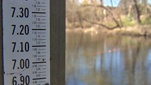
The lack of heavy snow or rain from our record warm and dry winter is causing river levels to fall at an alarming rate for this time of year.
High pressure in place across the mid Atlantic is pulling offshore and will begin to wrap in a breezy SW wind today and start the warm up with highs climbing into the 50's.
Well, you just do not get to see days like this very often do you? For weather lovers, the past 24 hours was about as good as it has been all winter
Cool filtered sunshine this morning with increasing high altitude clouds will give way to mostly cloudy skies this afternoon and warming temperatures into the 40's. High pressure off the coast will wrap in warming SW winds...but the lack of sunshine will make it feel cooler. Keep a close eye on the radar today because we have quite a bit of rain just to our SW which is heading right to us for tonight. Clouds will thicken in advance of the rain this afternoon with showers arriving in western New England around sunset. Showers will be reaching the coast between 6-8 PM...
High pressure to our south is wrapping in warm humid light SW winds and providing enough dry sinking air that much of the weekend will remain dry..but humid with highs in the mid-upper 80's...Near 80 on the Cape. As the high pulls off the coast Sunday, a better chance for more widespread scattered storms will develop late tomorrow in the west.
Isolated to Scattered Strong to Severe Thunderstorms are likely Monday Afternoon and Evening across the entire NWS Taunton County Warning Area. Damaging Winds, Large Hail, and urban/poor drainage flooding are the primary threats..

The latest storms brought down trees and power lines in Wilbraham, Springfield, East Longmeadow, Hampden and elsewhere.