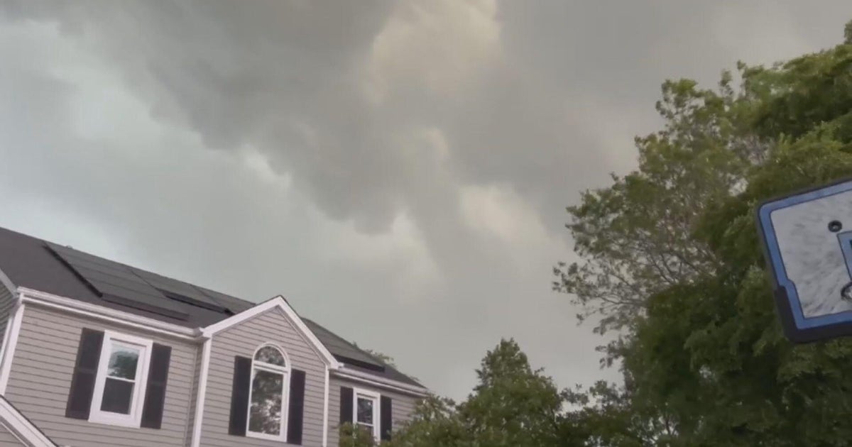
Isolated thunderstorms in Massachusetts Friday could bring lightning, strong winds

The WBZ weather team is issuing a Next Weather Alert for morning rain and isolated thunderstorms on Friday. Most of the area will stay dry for a majority of the day, however, a few isolated thunderstorms in the afternoon could present frequent lightning and strong winds.
Morning commute impacted
The day will start off with a quick-hitting line of showers in the early morning hours Friday. This is expected to briefly impact the morning commute, before we turn to drier weather around lunch time.
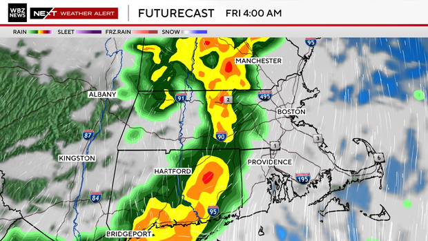
That dry break during lunch may provide just enough sunlight and lack of cloud cover to help fuel some thunderstorms in the afternoon, along with the frontal passage.
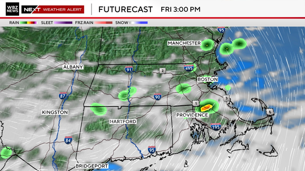
The wider window to see an isolated storm is from 3-11 p.m. Again, most will stay dry as these storms are expected to be highly localized.
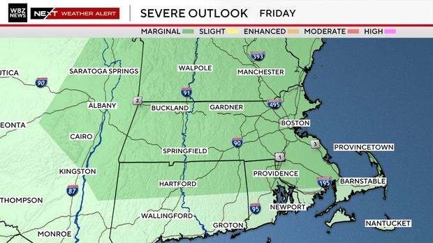
Marginal risk for strong thunderstorms
The afternoon storm potential has placed Massachusetts in a marginal (level 1/5) risk for strong thunderstorms to reach severe criteria. Should any stronger storms materialize, they will pose a low-level threat.
The primary hazard with any storm activity will be frequent lightning. Straight-line winds are also possible Friday. We do not expect excessive rainfall to be a factor in this.
Given the quick-hitting nature of the early morning showers, along with the very isolated nature of afternoon storms, not much rain is expected Friday. A little over a tenth of an inch of rain is likely. In areas that see more storm activity, locally higher rainfall amounts are possible.