Snowflakes and Raindrops
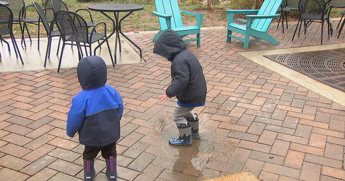
Clouds will continue to blanket the sky for the next couple of days as an upper level low meanders near Nova Scotia. There will be 'tentacles' of moisture spiraling around this low pressure center which will induce scattered diurnal snowflakes and/or raindrops. As the sun sets, the sky will become less cloudy.
Today will be mostly cloudy with those afternoon drops or flakes. Winds will be breezy from the northwest. Highs will reach the lower to middle 40s.
Tuesday will be much of the same. Highs will be in the lower to middle 40s once again.
WATCHING Wednesday & Thursday: We will be watching a storm that is expecting to pass south/southeast of New England. While the NAM and EURO keep the 'heart' of the storm offshore, the newest GFS as well as the RPM are now bringing it closer to New England. We will need to watch this track closely since there is such a wide discrepancy amongst these 4 models. If this would 'hit' New England, it would probably be mainly rain for SE Massachusetts, while providing heavier snow for areas north and west of Boston.
Friday will be a pleasant late-winter day with partly cloudy skies and highs in the lower to middle 40s.
This weekend will be milder in the 4550F range. Saturday will be the pick day since it will be dry. Sunday will be mostly cloudy with a chance of rain/snow showers.
***DST begins this Sunday at 2am. Please remember to 'spring' those clocks AHEAD one hour before bedtime Saturday night.
~Melissa :)

