OK, Is Winter Finally Done? Nope.
Find Eric Fisher on Twitter and Facebook

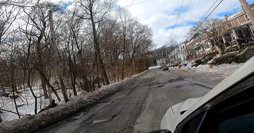
With all the national media in town on Monday, you'd think snow in March was some sort of extreme event. Not quite. Did a little number-crunching and turns out we get 3" or greater snow events after March 20th in 16% of years at Logan Airport (which means bigger snow inland). In other words, typical late March fare. Most towns landed in the 3-6" range, and almost all of it got immediately nuked by strong March sun and mild soil temperatures. By the end of Tuesday, there likely will be nothing left outside of a few snow banks here and there.

The seasonal snow total is up to 29.5" in Boston, which really is a pretty 'normal' snow season for the city. About half of all snow seasons in the city come in between 30" and 60" (56 out of 123 years of record keeping). But we're not done counting yet. While meteorological winter runs Dec/Jan/Feb, snow is counted from first flake to last flake...whether it be October or May (it has snowed in both). So the window is still open.
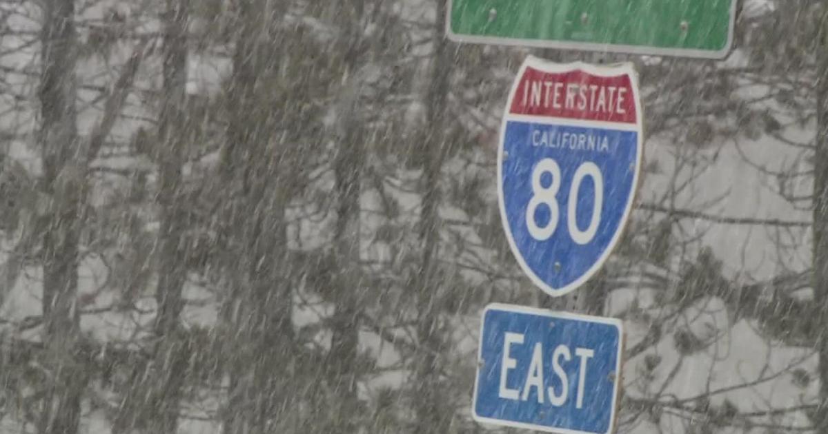
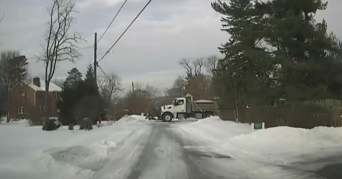
Wouldn't you know it, the long-range outlook shows us that winter hasn't finished up yet. We're watching a battle between mild and colder air this week (milder air winning Tue/Wed, colder air winning Thursday). Thursday looks cold enough for some snow/ice to develop across northern Massachusetts and New Hampshire...once again bringing the sanders out. Then our attention will turn to early April. This is a period where guidance has been hinting strongly at a cold setup.

Latest Euro Weeklies from Monday show an extremely strong signal for troughing across the eastern U.S. in early April, which will help bring down plenty of cold air. Plus, ridging once again building up across the western coast of North America, which also helps aid in drawing polar air down across the eastern U.S. Source: Weatherbell
Granted it is quite a ways out, but oftentimes it is pretty straightforward to call out these signals well in advance, especially when it comes to temperature. Storms themselves are not so simple. You can spot a pattern conducive for a type of situation (severe setups, coastal storms, pinpointing areas of interest, etc.) but you can never really hone in on any exact solution until a couple of days out. Even then, sometimes it's tricky! We saw evidence of that this past weekend.
The particular signal in question here points to significant cold in the April 2nd-10th time frame, give or take a day or two. That cold would be centered across the Midwest, Great Lakes, and Northeast. When reading anomaly maps, keep in mind that our averages are starting to rise rapidly now. A departure from average of -15F means highs in the upper 30s in early April, whereas it means highs in the low 20s in early February. So just because a pretty map from a model site shows blue doesn't equate to frigid air. But compared to average April temps, it looks pretty nasty.
Will that lead to snow? I certainly wouldn't rule out the potential. As mentioned before, we've had snow in April and even a big storm in May before (1977). You may get to use the shovel again before tuning up the lawnmowers. In all honesty, it would be better overall if we stayed cold for a bit longer into the spring. So many plants had started to come out early with anomalous February and early March warmth. If fruit trees or other more fragile blooms came out this early, they'd open themselves up to a world of hurt in any potential cold snap. Keeping some chill around for a few more weeks would allow them to open closer to their typical times, lowering overall risk of frost/freeze damage. It's not as comfortable for us, but the big picture may be a positive one.