Potentially Damaging Winds Expected For Much Of Massachusetts
BOSTON (CBS) – Wednesday started out with various amounts of sun and clouds leading to a rather warm day. This trend quickly shifts as a front roars into southern New England this afternoon. Two main components will come from this system: rain and wind.
RAIN
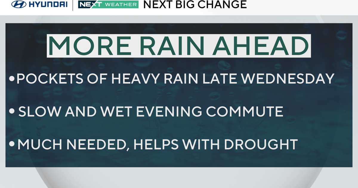
By midday, clouds will increase in central and eastern Mass., but the showers haven't reached southern New England. Expect the first showers to arrive after 3 p.m. The initial rain will remain light. By the time the evening commute rolls in (5-6 p.m.), heavier pockets and isolated thunderstorms will reach Worcester County.
This front will gradually sweep west to east impacting the 495 belt and eventually eastern Mass. around 7 p.m. While there will be some quick bursts of heavy rain, the totals will likely stay less than 0.25 inches. Cold air aloft could lead to small hail in the strongest of Wednesday's thunderstorms. That should remain an isolated incident.
WIND
The wind will be the main concern with today's front. The breeze will pick up near mid-afternoon, however peak gusts will arrive near sunset. A High Wind Warning will be in effect from 2 p.m. Wednesday to 2 a.m. Thursday. Peak gusts expected to reach 50-60 mph.
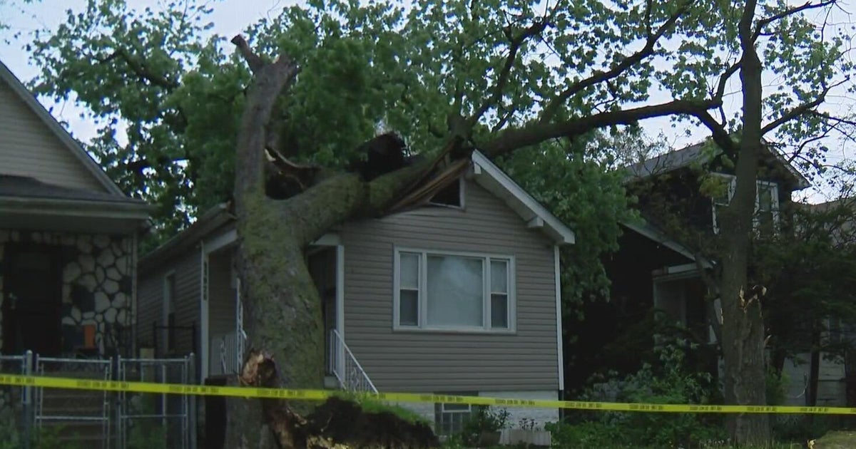
This will lead to downed limbs, branches, trees, and as a result bring power outages to our region. Make sure you check the patio furniture and have the electronics charged later today.
The system will move off rather quickly and we're into more sunshine on Thursday. A breeze remains with gusts possible reaching 30+mph. After Wednesday's showers, Massachusetts will be in a dry spell through the weekend.


