Beneficial Rain At Last!
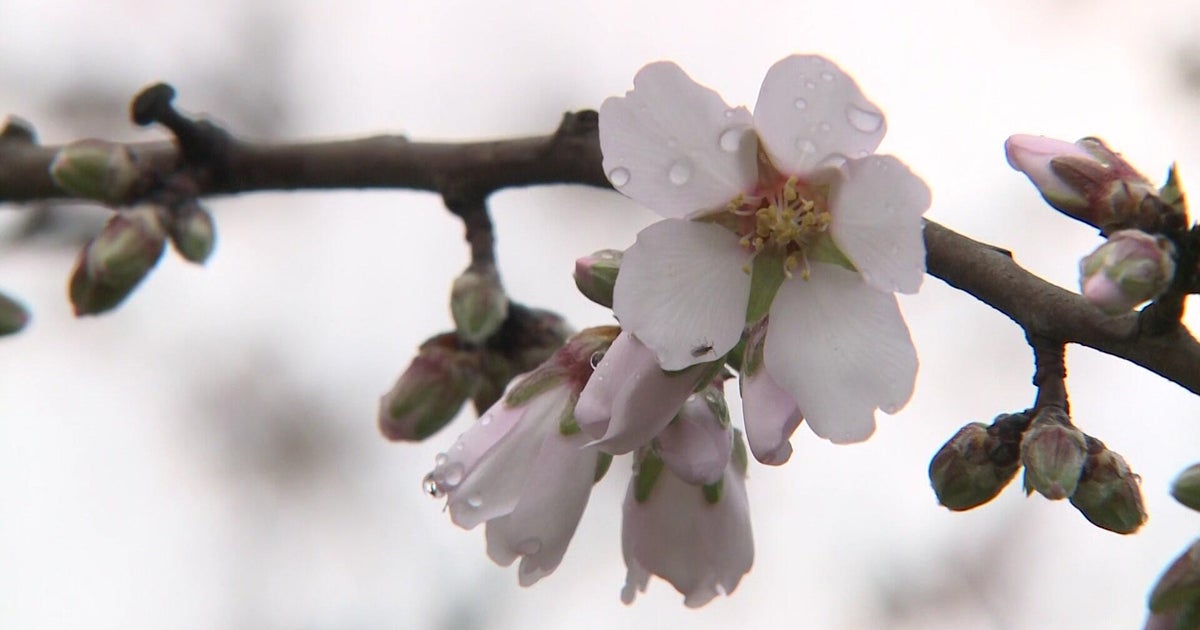
The lengthy stretch of splendid sunshiny days is now a pleasant memory. It has been advertised for a full week and, thankfully, the rain is going to materialize. Furthermore, it will be quite beneficial by decreasing the fire danger, temporarily cleansing the air of the tree pollens and providing some moisture for the lawns and gardens. Hopefully, you took the opportunity to apply organic fertilizer and lime to your lawn in the past 24 hours in anticipation of this impending rain. Scattered showers will be breaking out across the area as the morning progresses with the real deal of heavier rain arriving as some spotty downpours this afternoon and evening. The main ribbon of rain is soaking the NYC area early this morning and causing flight delays. There is some lightning and thunder down there as well and some of that action could occur in parts of our area this afternoon into early evening. Meantime, migrating fog banks are impacting travel over parts of our coastal plain this morning as visibility is changeable and reduced sharply in a few parcels of dense fog. While this is ongoing, plentiful sunshine across interior northern MA will disappear as the cloud bank advances into that region from the south. The temperatures could approach 67-70 up there before the clouds restrict a further rise while the rest of the region that is already mostly overcast will have temperatures rising just a few degrees into the range of mostly 60-65 after last night's mild weather in the 50s.
The system responsible for the wet weather continues to spin over the mid-Atlantic region. The vigorous upper level closed low pressure system and a weak reflection at the surface is gradually lifting northeastward toward New England. Consequently, its ribbons of rain or spiraling strips of showers will pivot over us this afternoon into tonight. There will be a decrease in coverage later tonight then a redevelopment of convective showers and boomers tomorrow as breaks of sunshine provide some heating and destabilize the atmosphere as the upper low passes right overhead. Some of these showers will produce relatively brief hard downpours. Once this feature exits tomorrow night, Friday should be nicer with a mix of sunshine and some increasing afternoon clouds. Most of the showers will hold off until late afternoon or evening across northwestern New England. The next trough of low pressure rolls in to create wetter weather on Saturday. There will be some moist air feeding into this wave of low pressure which will churn across the region and exit later Saturday night. It will be booted out by an approaching strong cold front surging toward the Northeast from the Great Lakes. This front may kick off a few scattered showers on Mother's Day. If the system keeps on trucking, sufficient dry air will arrive Sunday afternoon to produce partial clearing and some nice spells of sunshine sending temperatures to near or slightly past 70. A large zone of high pressure building in from the west will deliver dry air with plentiful sunshine and a few clouds for Monday and Tuesday. Overnight lows will be in the middle 30s to middle 40s and daytime highs will reach the lower 60s.
The present breakdown on the potential amounts of rain from these next 3 events is: 0.33 to 0.66" through this evening then another 0.33 to 0.66" tomorrow and another 0.75-1.5" Saturday into Sunday for a grand total of 1.25-2.75"! I am very pleased with that. How about you?
Todd Gutner posts a fresh blog this evening and I shall return early tomorrow morning.
Make it a great day!