WEATHER BLOG: Saturday
It looks as though we will manage to hold on for another pleasant day today ahead of a cold front approaching from the west. Dewpoints will be on the rise still and humidity levels will be approaching the more uncomfortable side of things this afternoon, but for a September day we could certainly do much worse. Some patchy morning fog today as well, especially in the usual spots. Overnight tonight will see the cold front push through the region. While the front looks quite dry by the time it reaches the East Coast, there will still be a few spotty showers around late at night or early in the
morning Sunday, probably a 20-30% chance.
Sunday, in my opinion, looks like the more pleasant day. Temperatures and especially dewpoints plummet during the morning, and by the afternoon we will be graced with plenty of sunshine. It should be a great day to get outside. The model differences are rather drastic on Monday, with the trough still in the east and a swatch of moisture moving north out of the Carolinas and Virginias. The North American Models are in both decent agreement that moisture is held well to the south of the I-95 thanks to the high pressure that results in such a lovely Sunday. The Euro brings rain right
up into the high as if it didn't exist. The Euro's track record the last few days has been questionable and when the Euro is an outlier I tend to shy away from it. If they 0z Euro that comes out later this morning is dry I wouldn't be surprised.
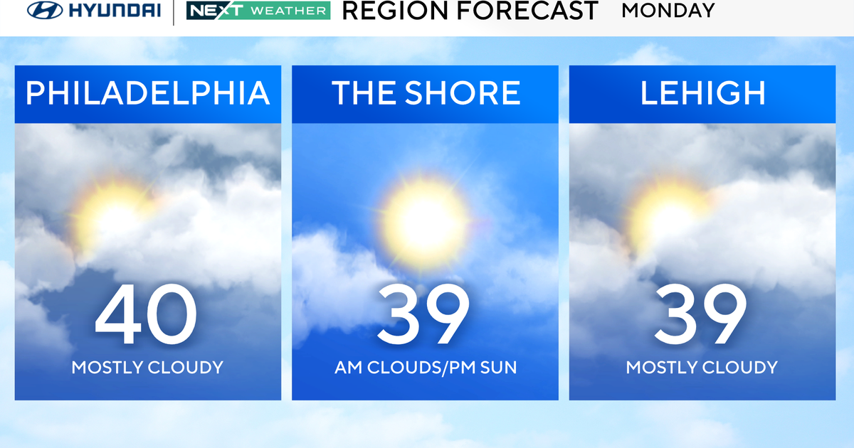
Monday might be a bit cloudier and cooler, but I don't think we need rain in the forecast at this time. High pressure holds in place over New England on Tuesday but the mid-level moisture and upper trough combine for perhaps a few more clouds. Nothing terrible.
The next high pressure system moves in from the Great Lakes as quickly as the old one departs, and takes over the job of holding the surface low off the southeast coast to our south, leading to another beautiful set of days. For those who thought the low 70s were too cool, some upper 70s and low 80s can return later this coming week.
