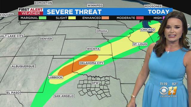
11AM weather update with Anne Elise Parks
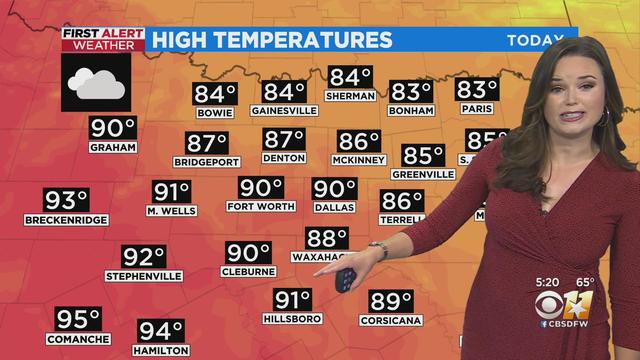
Highs today should reach the mid 90s, with a south breeze.
Watch CBS News
Highs today should reach the mid 90s, with a south breeze.
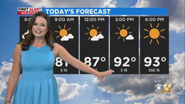
Today’s weather features more heat and humidity.
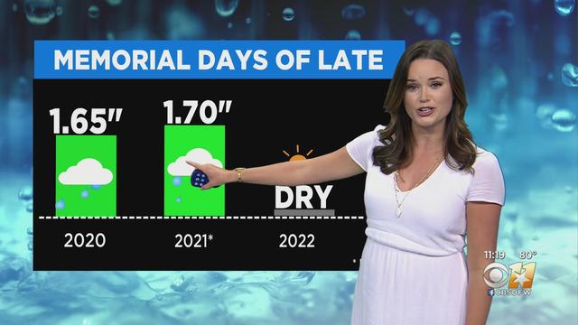
The weather pattern will be consistent for the next few days -- hot, humid and windy!
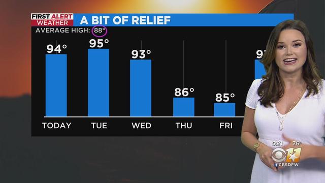
It’s ALL summer as you’d expect for Memorial Day in North Texas!
Winds today will be light but Saturday/Sunday, expect gusty conditions for any outdoor activities.
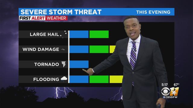
Flood Watch is in effect for parts of North Texas from 7am today until 7pm Wednesday.
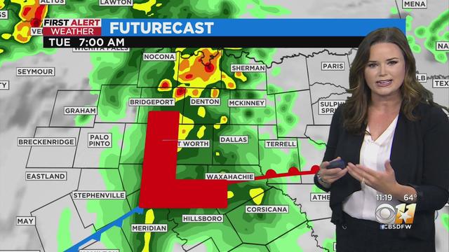
Tonight will be mostly cloudy with a chance of rain and storms. Some could be strong overnight with heavy rain and gusty winds.
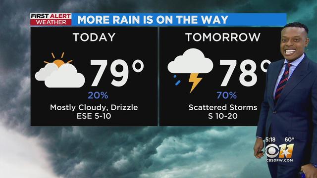
Most of the day will be mostly cloudy with a few peeks of sunshine. Highs in the upper 70s, with rain chances between 20-30%.
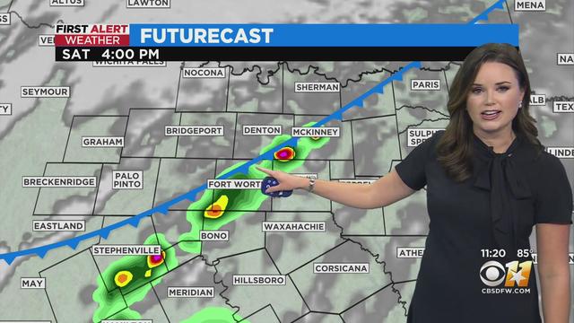
A very windy, hot Friday with isolated storm chances this afternoon/evening.
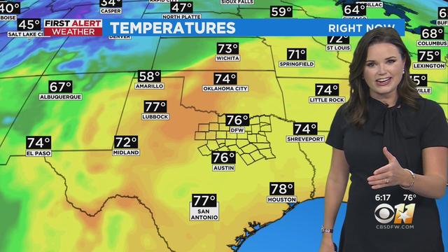
Hot again today with a mix of sun and clouds. There is a low storm threat this evening, mostly northwest in the Red River counties.

Expect some clouds this morning followed by plenty of afternoon sunshine.

Quite a bit of afternoon sun and southwest winds turning gusty during the afternoon/evening. Highs in the upper 90s.
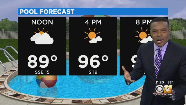
A hot and sunny afternoon on the way, with high temperatures in the mid 90s.

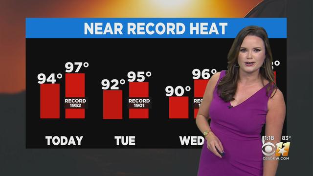
The forecast the rest of this work week remains focused on record-breaking heat!
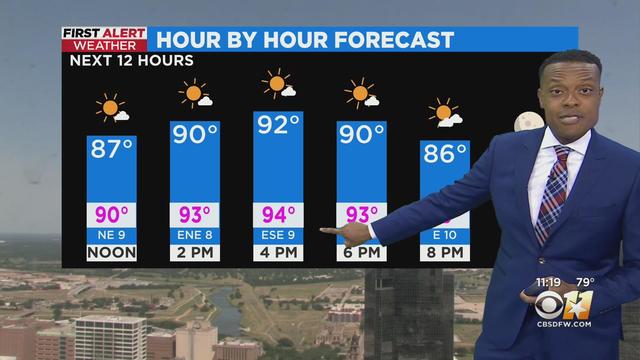
High temperatures will be in the low 90s, at least a little cooler than that RECORD high on Sunday of 97°.
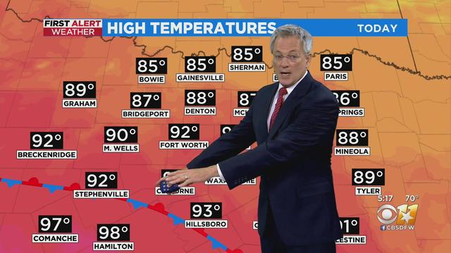
After a record high on Sunday of 97°, we are expecting a high today in the low 90s.
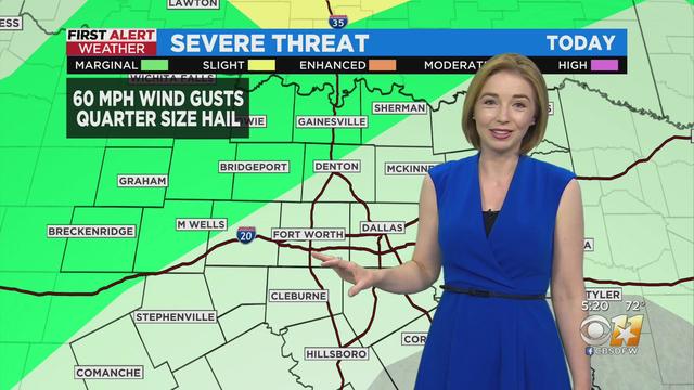
Hot this afternoon with highs in the mid 90s and breezy southerly winds. A few showers and thunderstorms will develop in our western areas this evening.
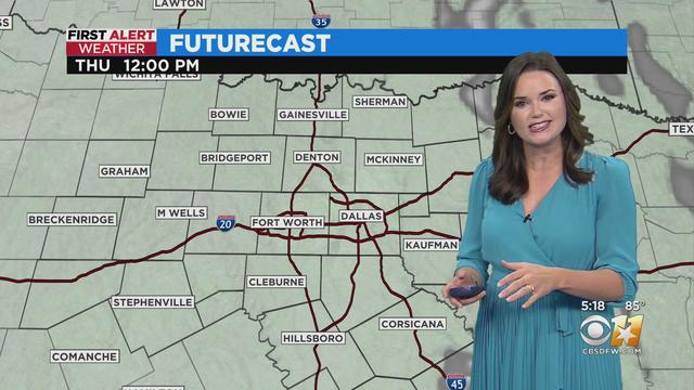
A mostly clear Thursday morning. Expect lots of sunshine and highs in the 90s.
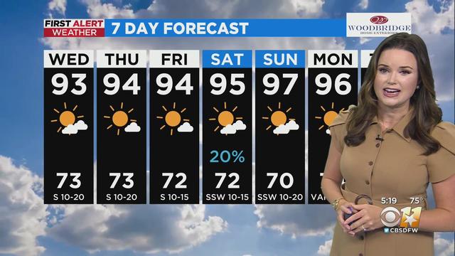
Wednesday’s forecast is going to sound awfully familiar.
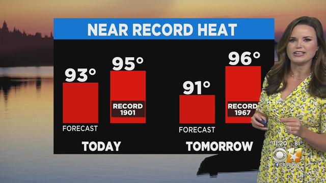
Tuesday temperatures remain more typical of mid-summer with highs reaching the lower 90s.
A dryline to the west of the Metroplex could spark a storm or two this evening but chances are very low.
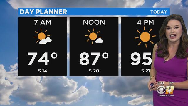
Today we’ll see some clouds this AM give way to plenty of sunshine by the afternoon with highs in the 90s.
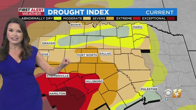
Things turning quite toasty as we head into the weekend. North Texas will most likely experience some record heat.
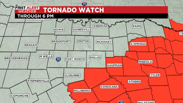
As the leading edge of the storms continues moving out of our area, the threat becomes more of a flooding/travel concern threat for areas south of I-20.
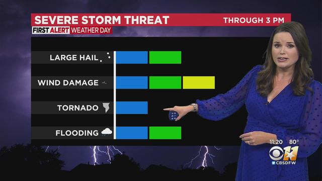
Showers and storms will develop ahead of a cold front this morning into early afternoon.