Watching for Storms, Watching the Gulf
We'll have another late afternoon/evening where we are watching for developing storms. There is plenty of moisture around, lots of heat (unstable atmosphere as well) and storms at our edges. Here is the latest line of storms forming to our northwest:
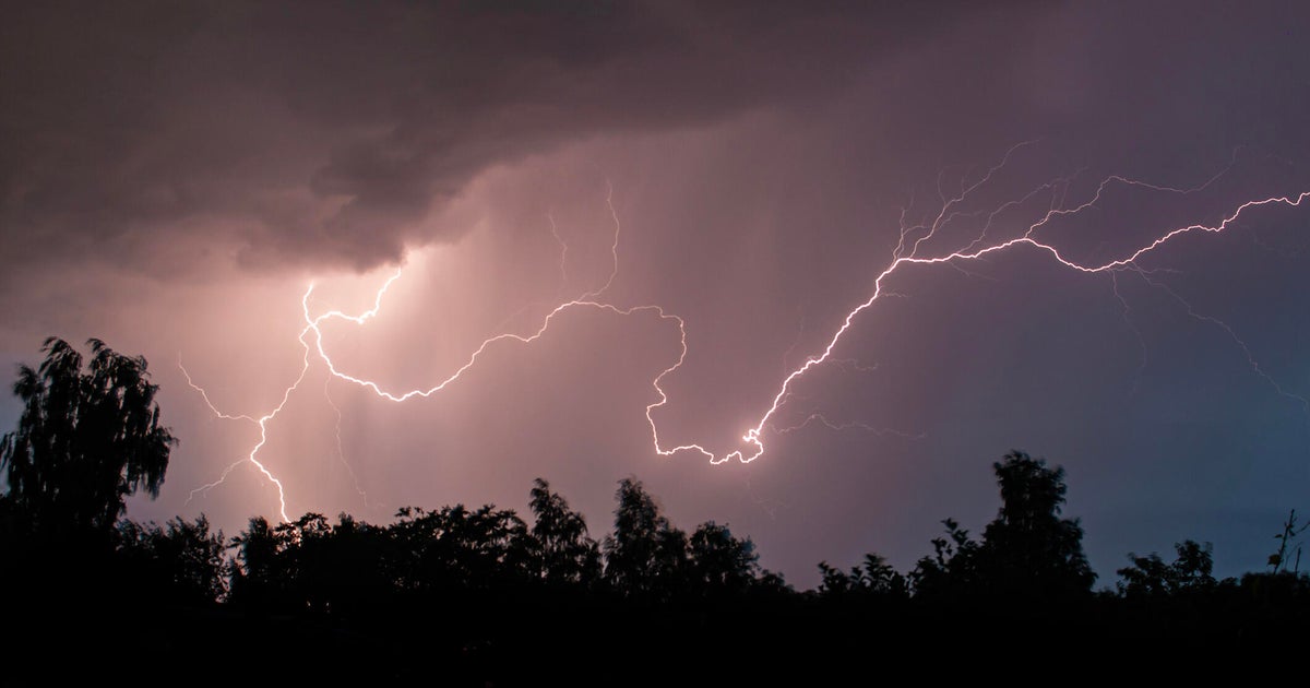
Outflow boundaries from these storms could collide with the humidity-rich south wind over north Texas and help trigger late day and evening storms. These could produce small hail, heavy rain and frequent lightning along with 40mph wind gusts. Some could even develop into severe storms. We'll be keeping you posted.
Tomorrow the storms chances will again be small, only around 10% - 15% chance. We'll have to see what develops to our north and east overnight, outflow boundaries from these storms (basically just a pool of cool air spreading out ahead of the storms) could trigger afternoon/early evening storms again tomorrow.
Highs tomorrow will be in the low 90's. Same story on Monday: hot and humid with a south wind and highs in the low 90's. Storm chances will continue to be very small.
Late Monday the south wind will start to pick up. Tuesday it'll be breezy. The reason is a tropical low quickly developing off the Louisiana coast and moving on shore east of Houston. This will bring excellent chances for heavy rain to our south and southeast for Tuesday and Wednesday:
We'll likely get more in cloud cover than rain chances from this system. But we'll introduce about a 20% storm chance (mostly south of the metroplex) because of this tropical system for Tuesday and Wednesday. Humidity will be high but afternoon highs will stay in the low 90's with lots of mid-level cloud cover.
A high pressure ridge starts to build in late in the work week. This means some hot and dry weather by next weekend with highs in the upper 90's.
