Warm, muggy Wednesday across North Texas
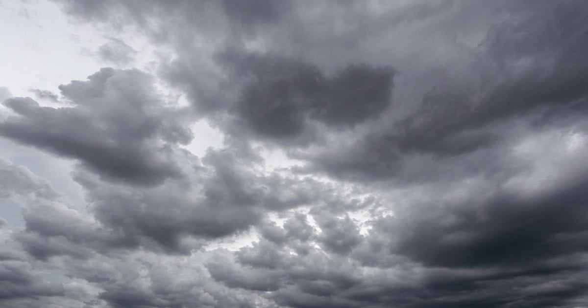
NORTH TEXAS — As we move through your Wednesday, expect a warm, muggy day. High temperatures will be in the mid 80s under mostly cloudy skies. A stray sprinkle or shower is possible, but most areas will be dry.
Tonight, expect mostly cloudy skies with low temperatures in the low 70s.
Heads up! Thursday is a Weather Alert!

Parts of North Texas could see strong to severe thunderstorms Thursday afternoon and evening off the dryline. There will likely be a CAP in place over our atmosphere Thursday that will suppress storm develop for much of the day.

But with a few breaks in the clouds and highs reaching near 90 by afternoon, the CAP will likely erode, allowing for storms to develop. The record high temperature is 100 degrees set back in 1925.

Storms will likely fire up between 3 p.m. and 9 p.m. Large hail and damaging winds are the main weather threats.


Periods of heavy rain are also possible. The threat for storms will diminish overnight.
By Friday, we'll see highs in the low 70s under mostly cloudy skies. There is a slight chance of rain on Friday, but more wet weather pushes in for the weekend.

In fact, we'll likely see widespread showers and thunderstorms on Saturday. Some of the rain could be heavy at times and highs will be in the mid 60s.

A few showers will linger into Sunday morning, with highs in the low 60s.