Very windy Saturday ahead with storms returning
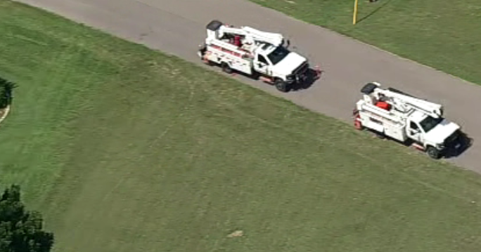
NORTH TEXAS – We'll get a preliminary count Saturday from the National Weather Service, but we suspect at least 3-4 tornadoes moved across North Texas on Friday afternoon. All the warning/watches were over by mid-evening. Now we'll wait for the next round to arrive Saturday afternoon. WEATHER ALERTS are in place.

Expect warm and humid conditions for Friday and most of the day Saturday. Wind gusts up to 40 mph are possible Saturday as temperatures warm into the low 80s.

The dryline should fire up a round of storms to our west. These storms will produce damaging winds, large hail, and isolated tornadoes.

The SPC has a large part of North Texas under a "slight risk" with a higher "moderate" risk in our western counties.

The First Alert Weather Team will be watching across the afternoon and early evening. Please stay weather aware if you plan on being out Saturday evening.

A cold front swings in from the west and another round of severe weather is possible overnight. Damaging winds, flash flooding and hail are the main threats.

These storms are likely around in the morning on Sunday. Another cluster of strong to severe storms might AGAIN form in the early afternoon along the I-35 corridor and east.

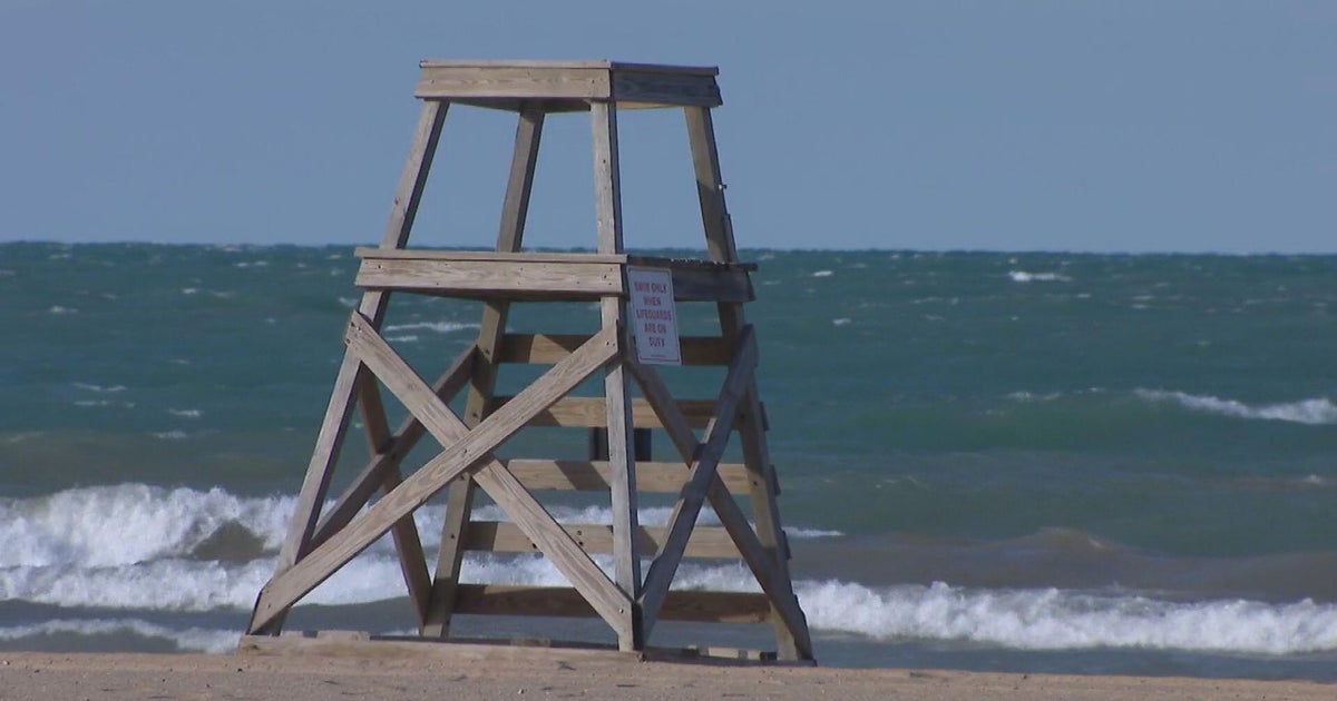
We are going to spend the entire weekend under a FLASH FLOOD WATCH. And heavy rain training over our area will likely produce flash flooding due to saturated soils.

We are expecting a lull in activity for Monday and Tuesday for the most part. But by middle of the week, more strong to severe storms threaten us. The First Alert Weather Team will keep you posted on the threat.